

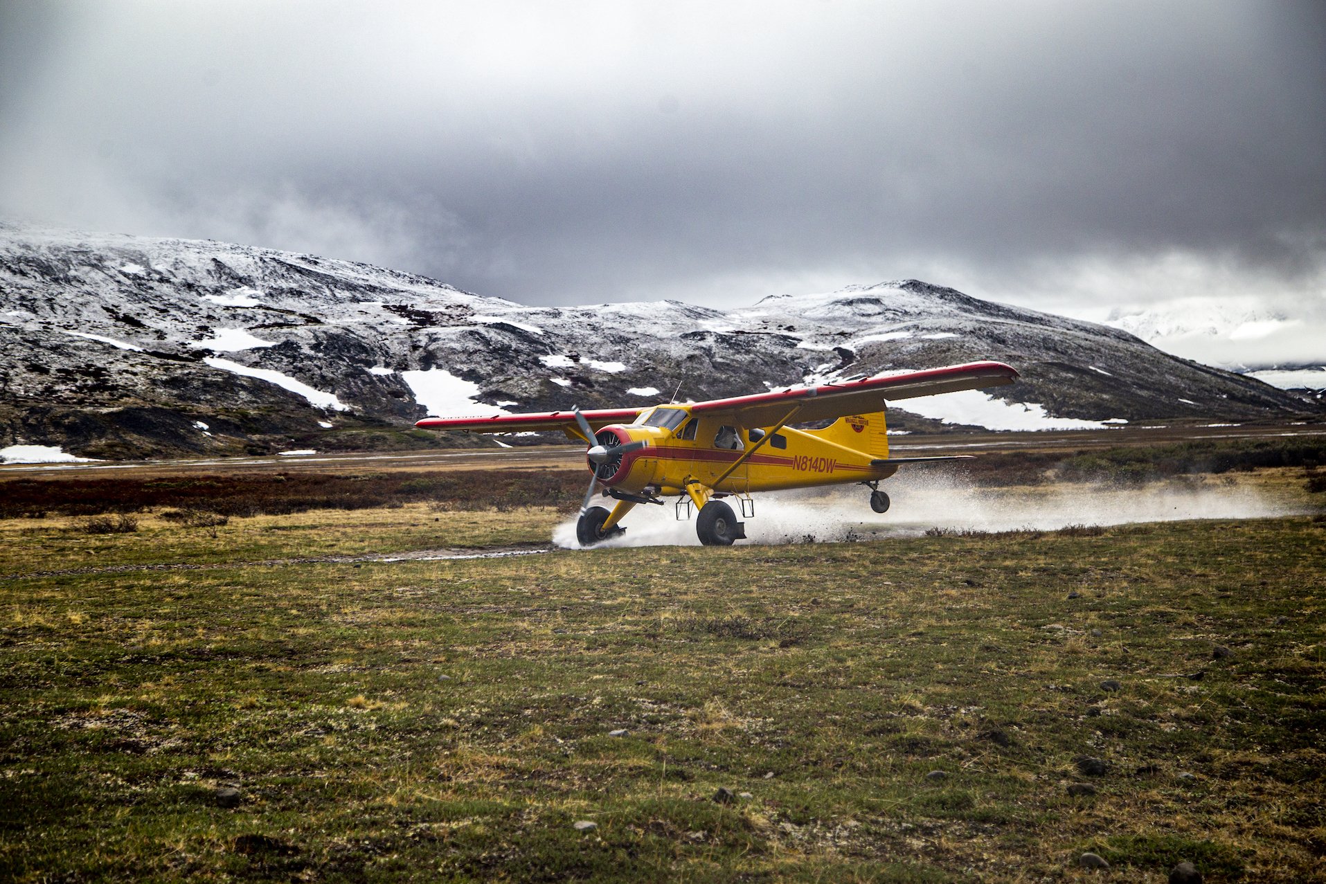
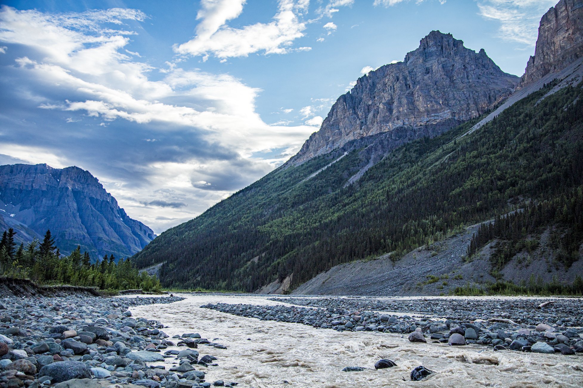
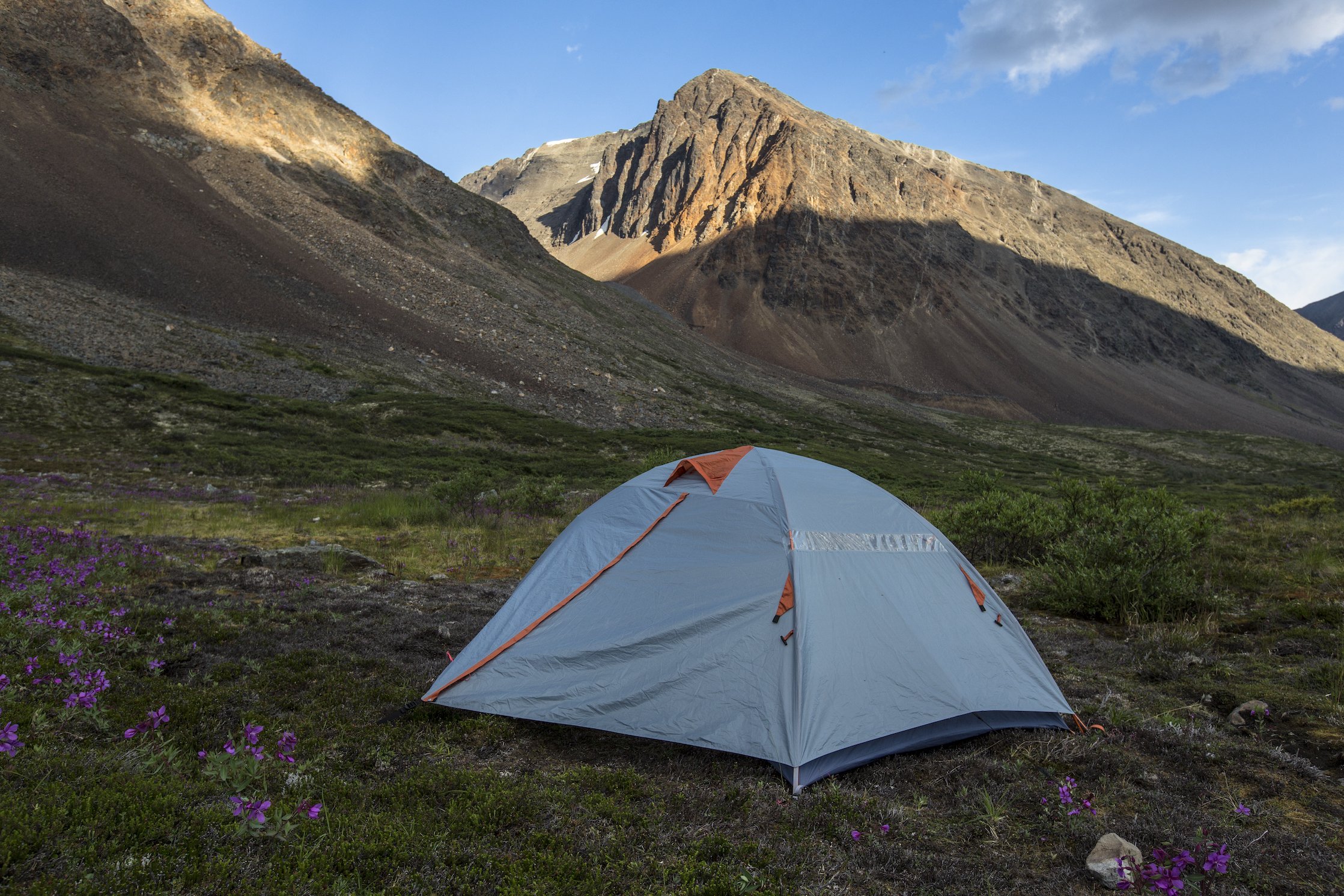
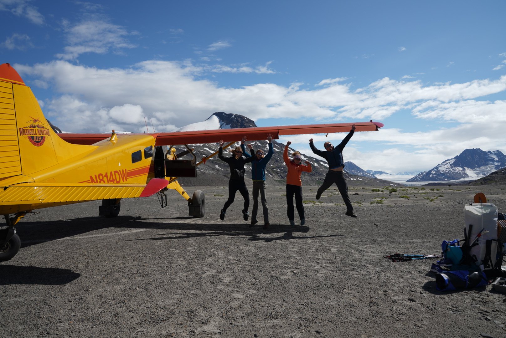
BackPacking in Wrangell-St. Elias National Park
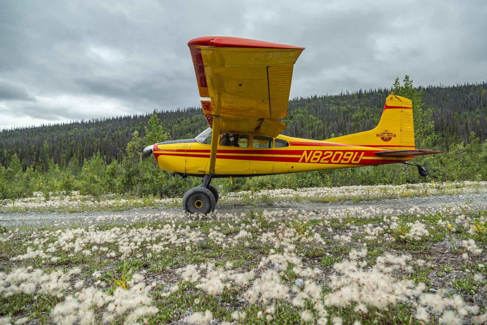
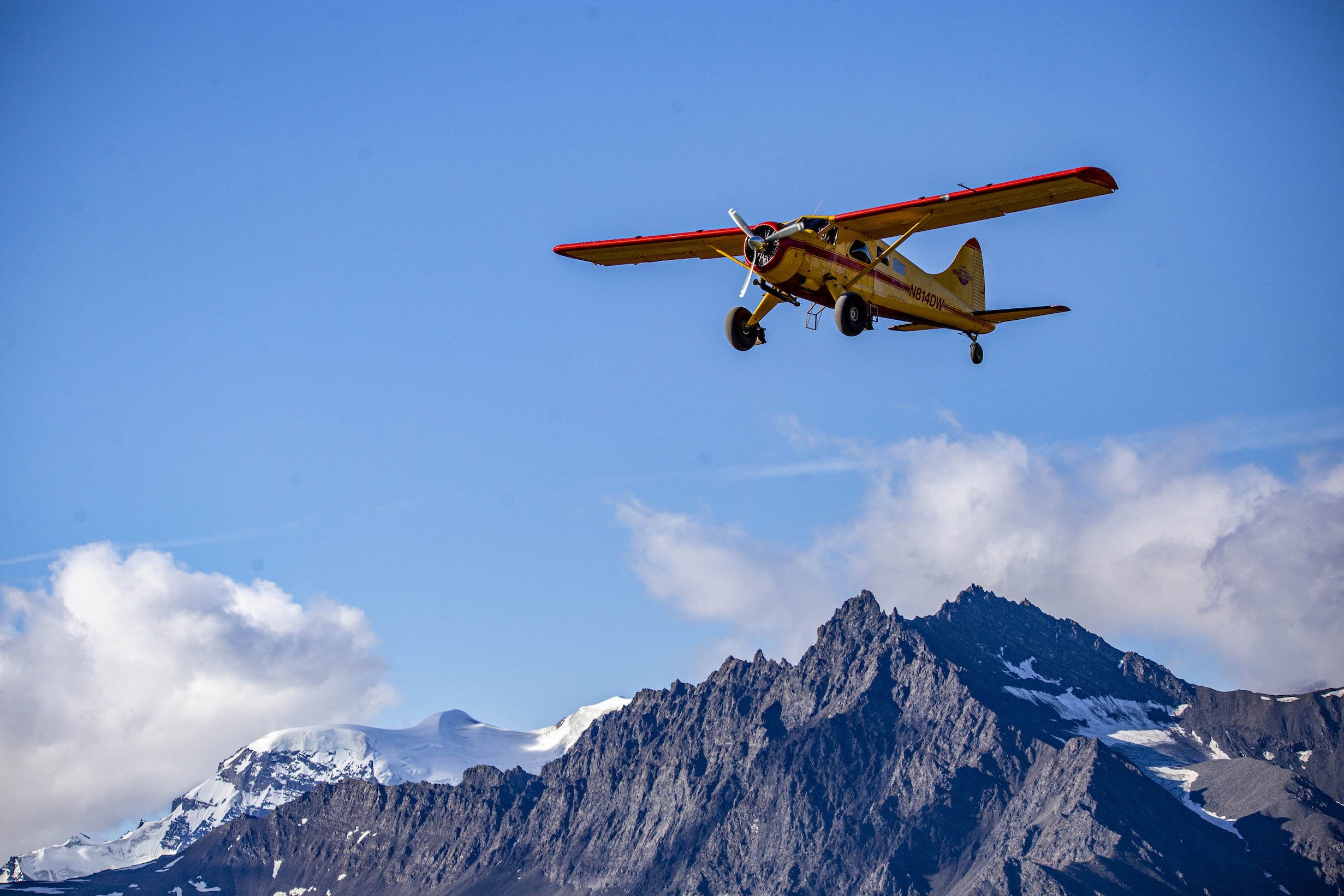
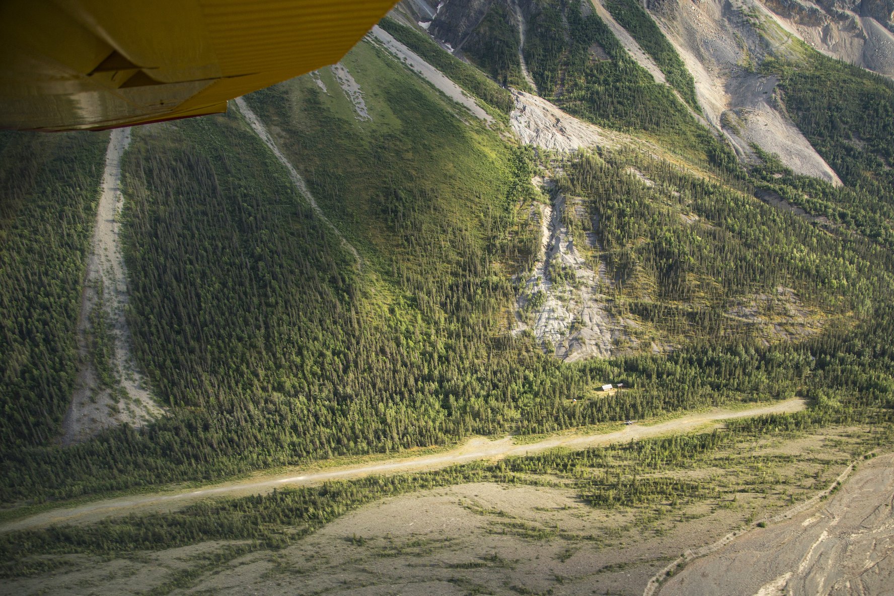
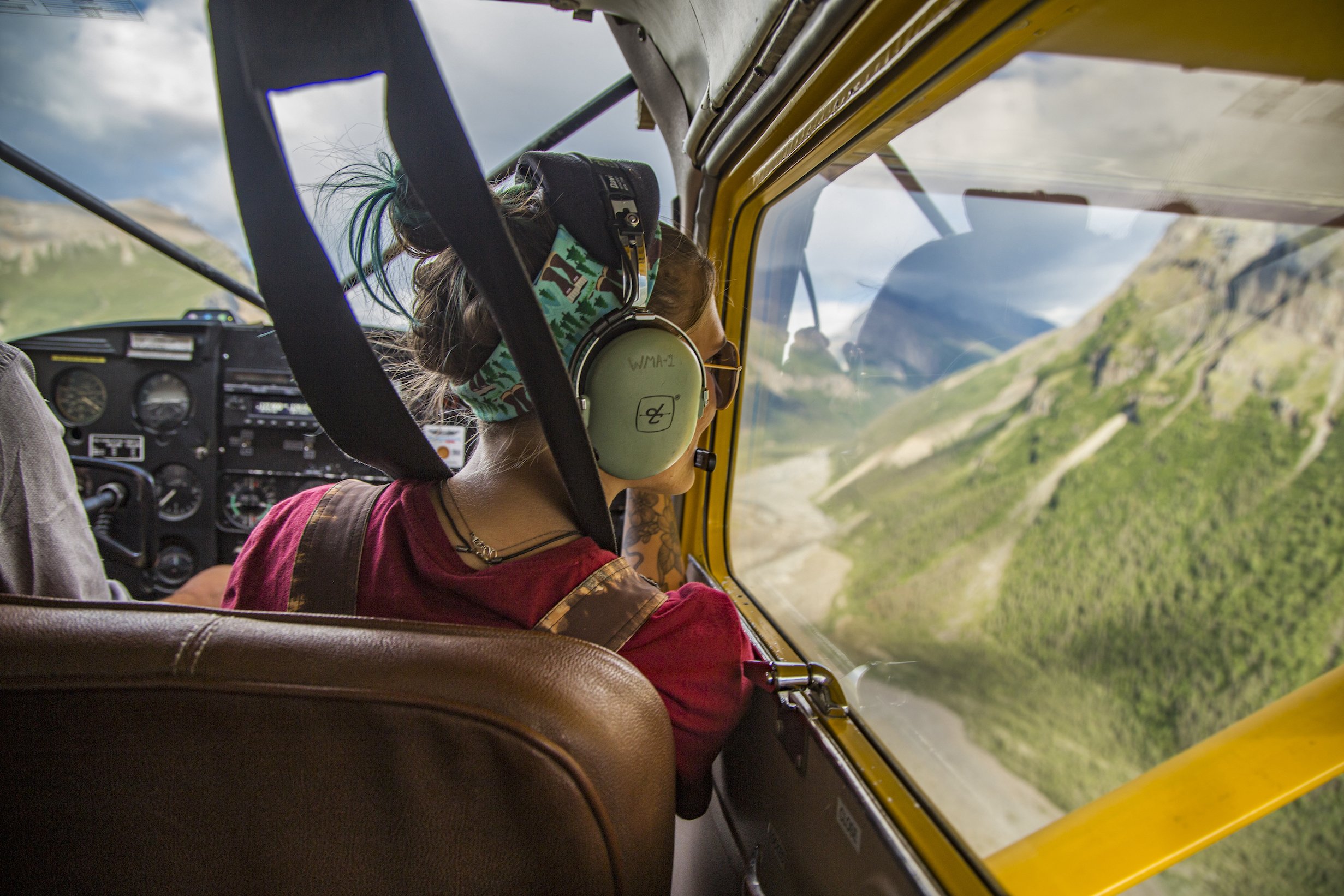
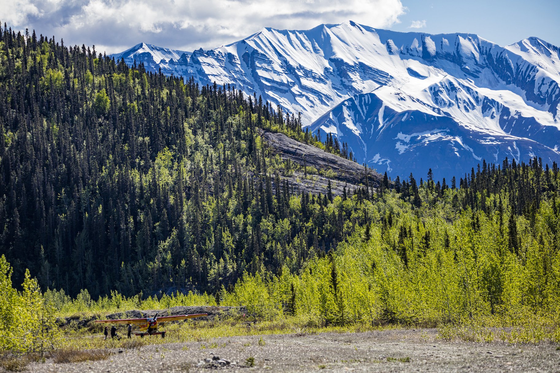
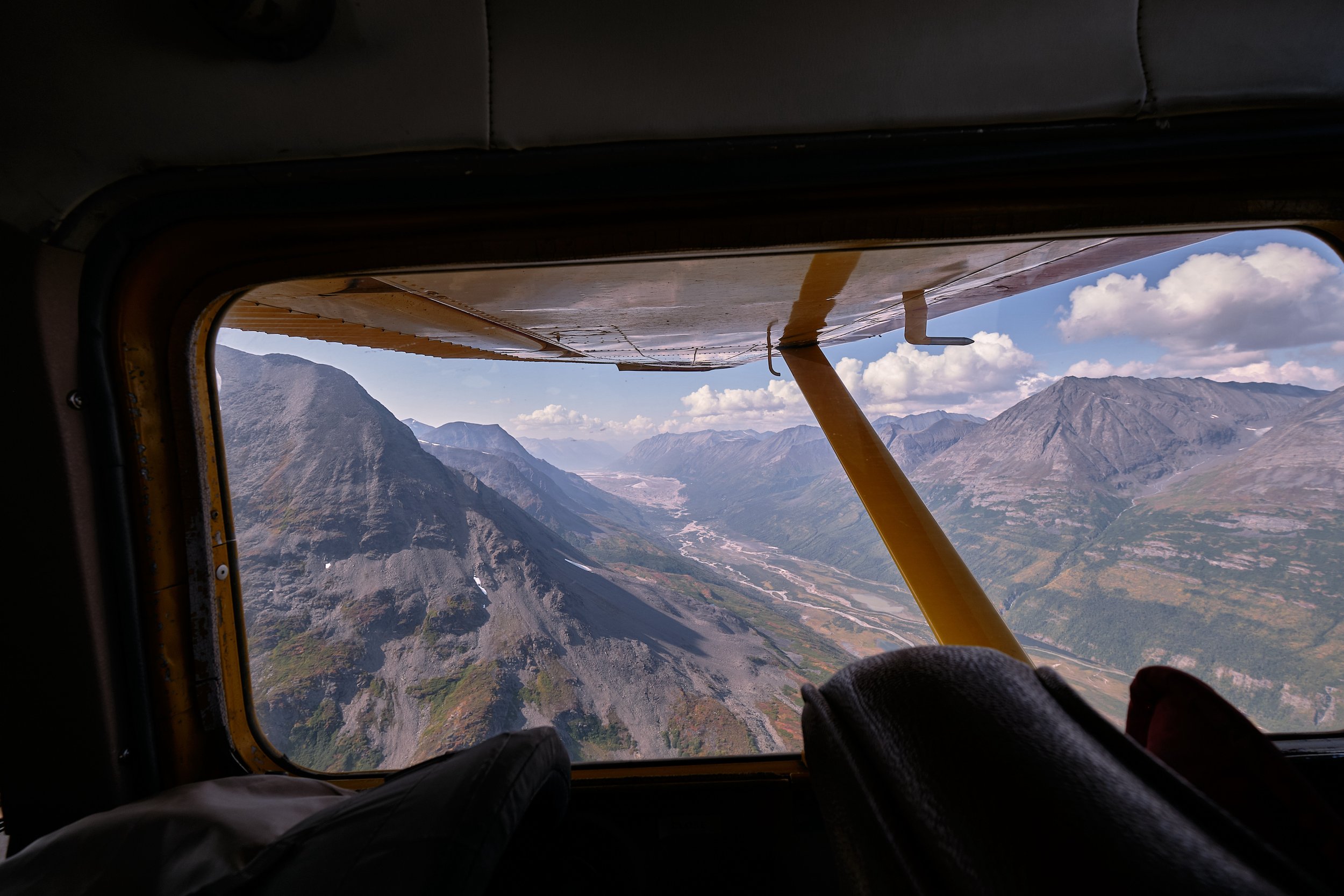
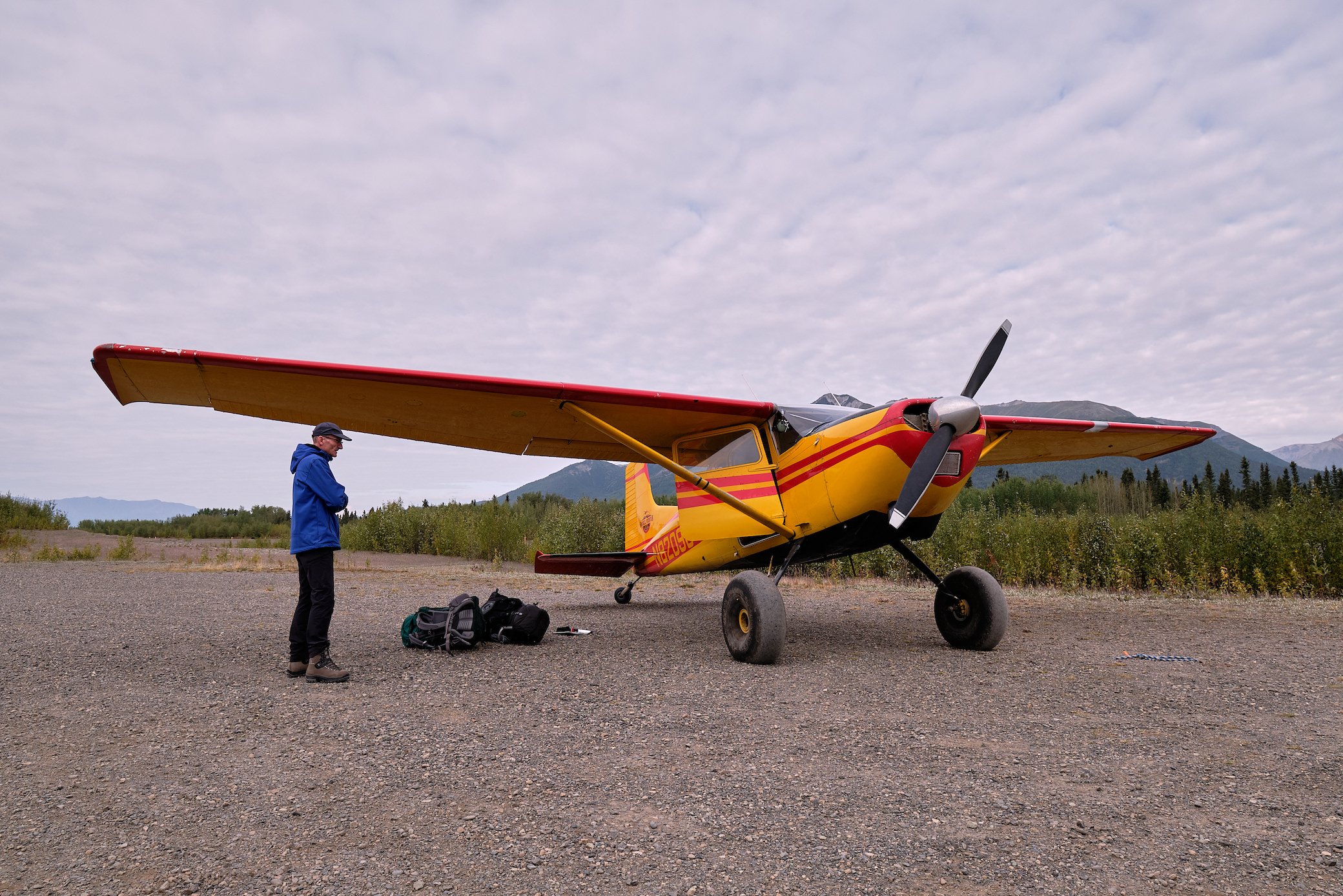
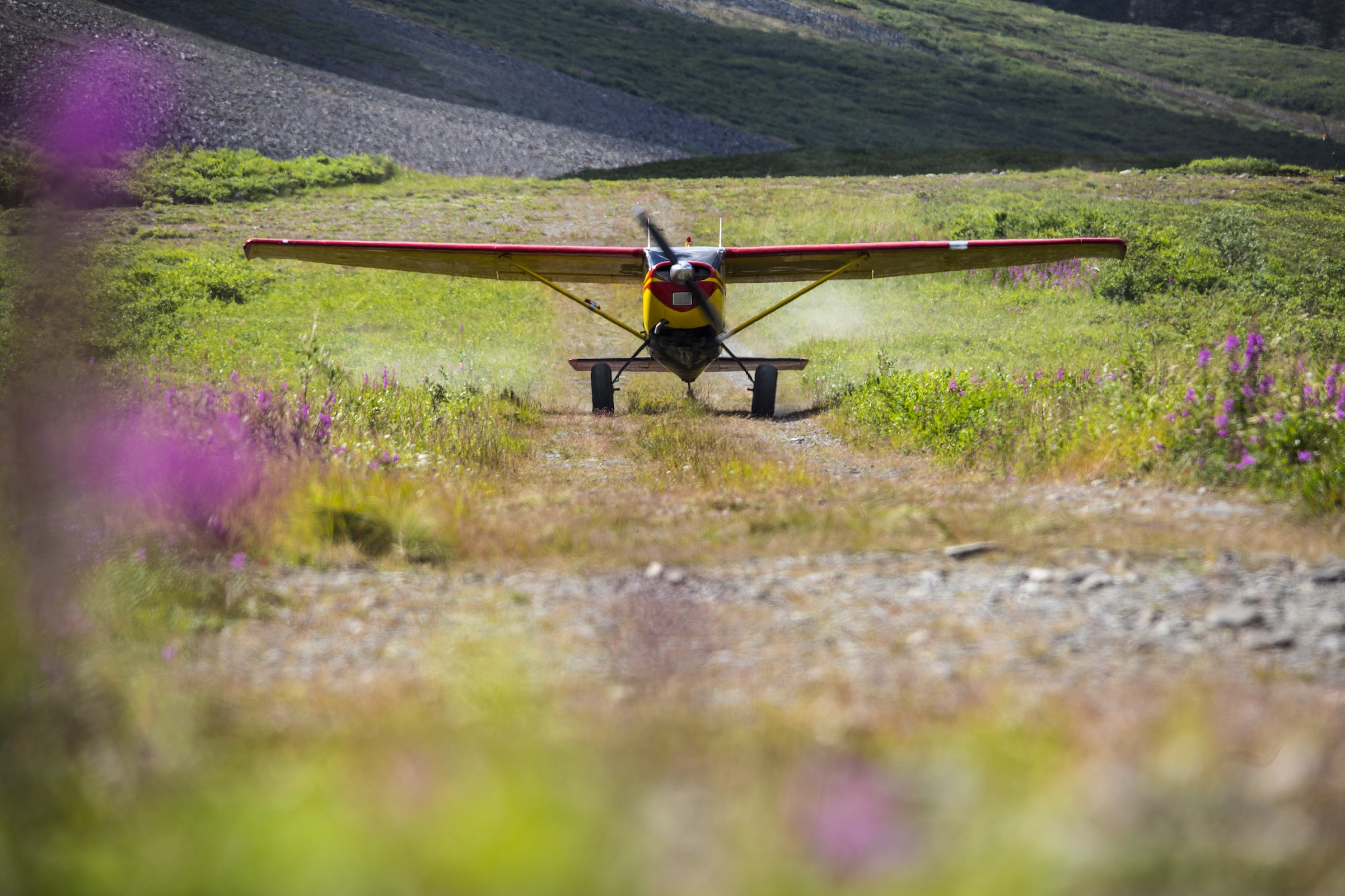
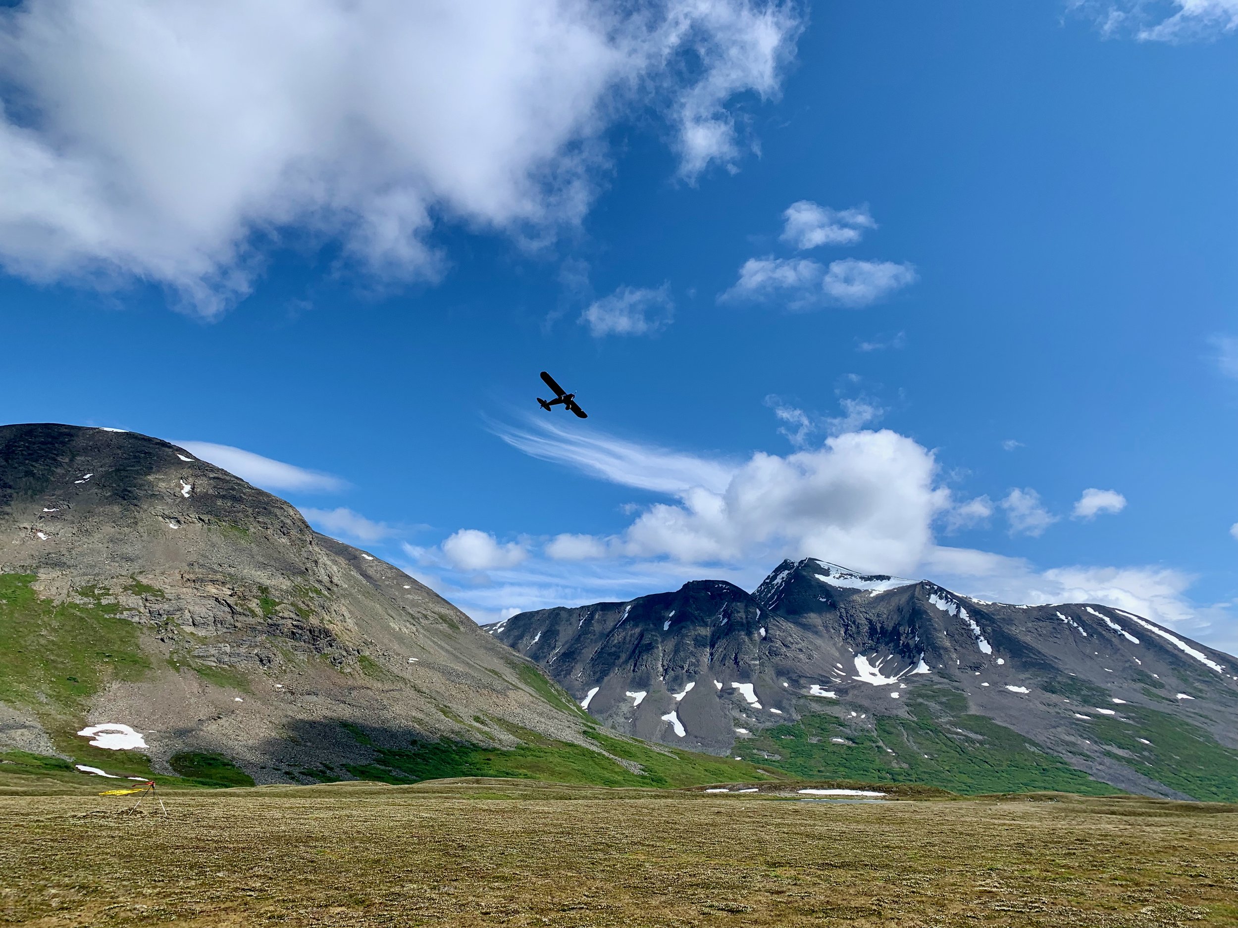
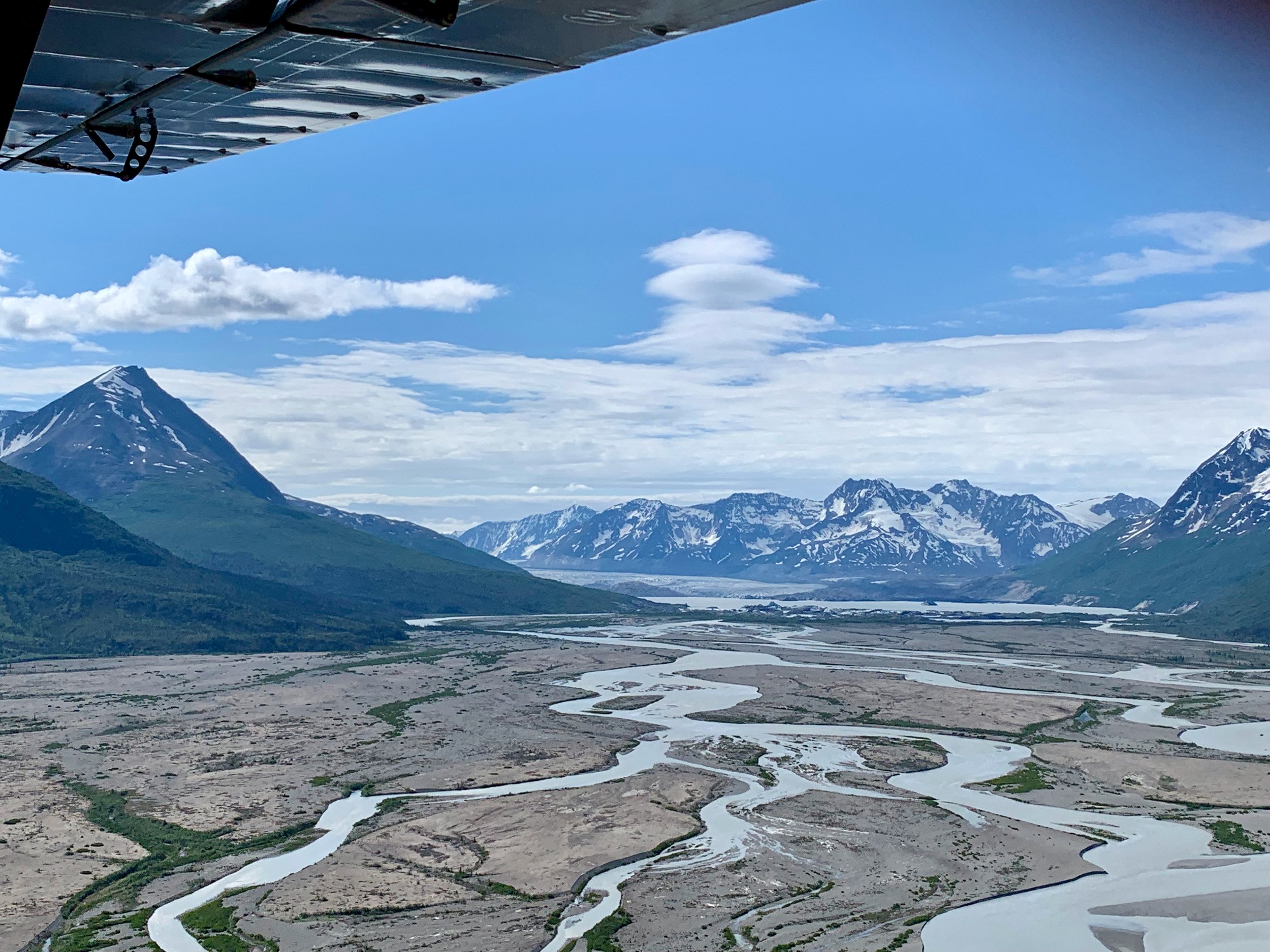
transportation to Alaska’s Most Remote Areas
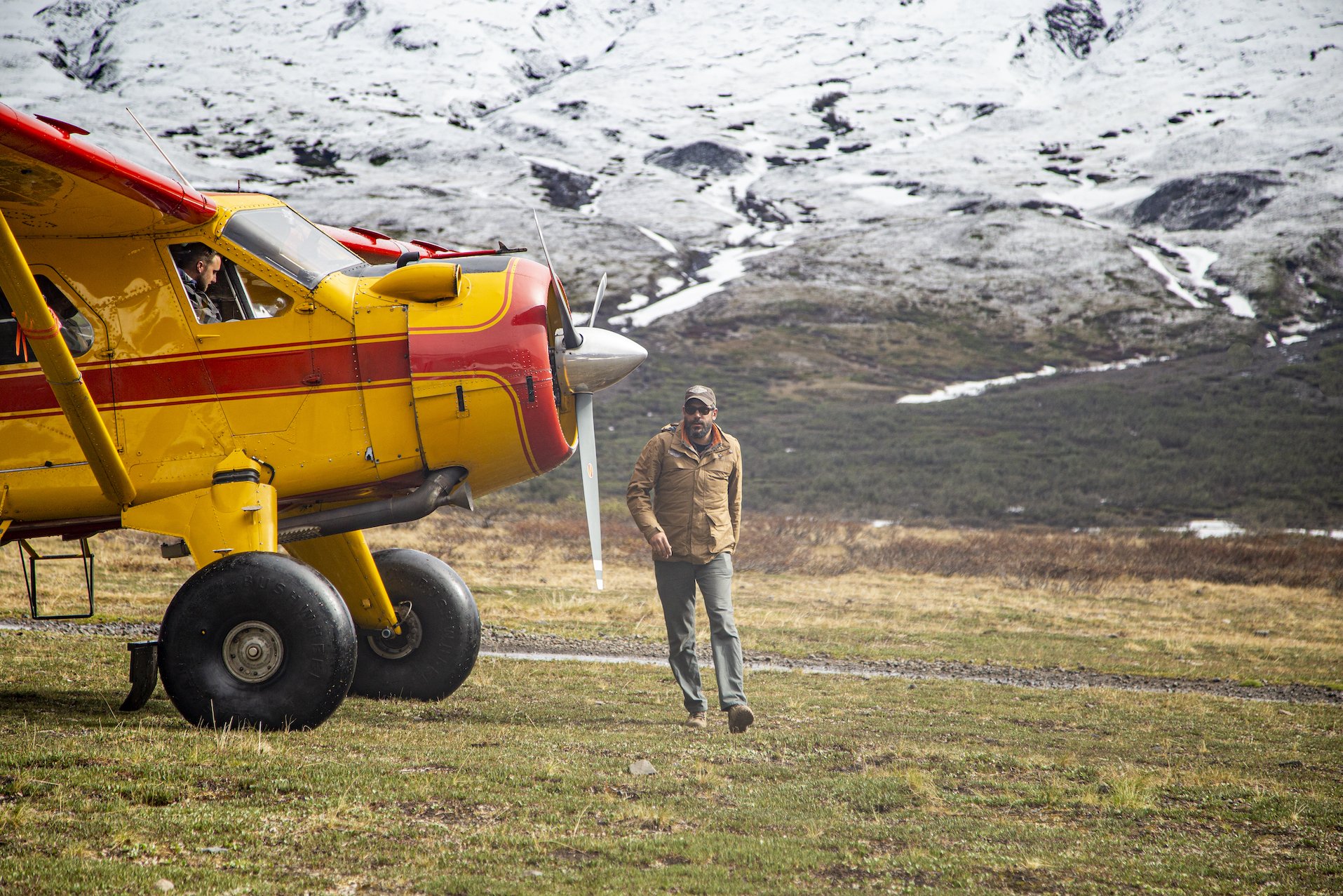
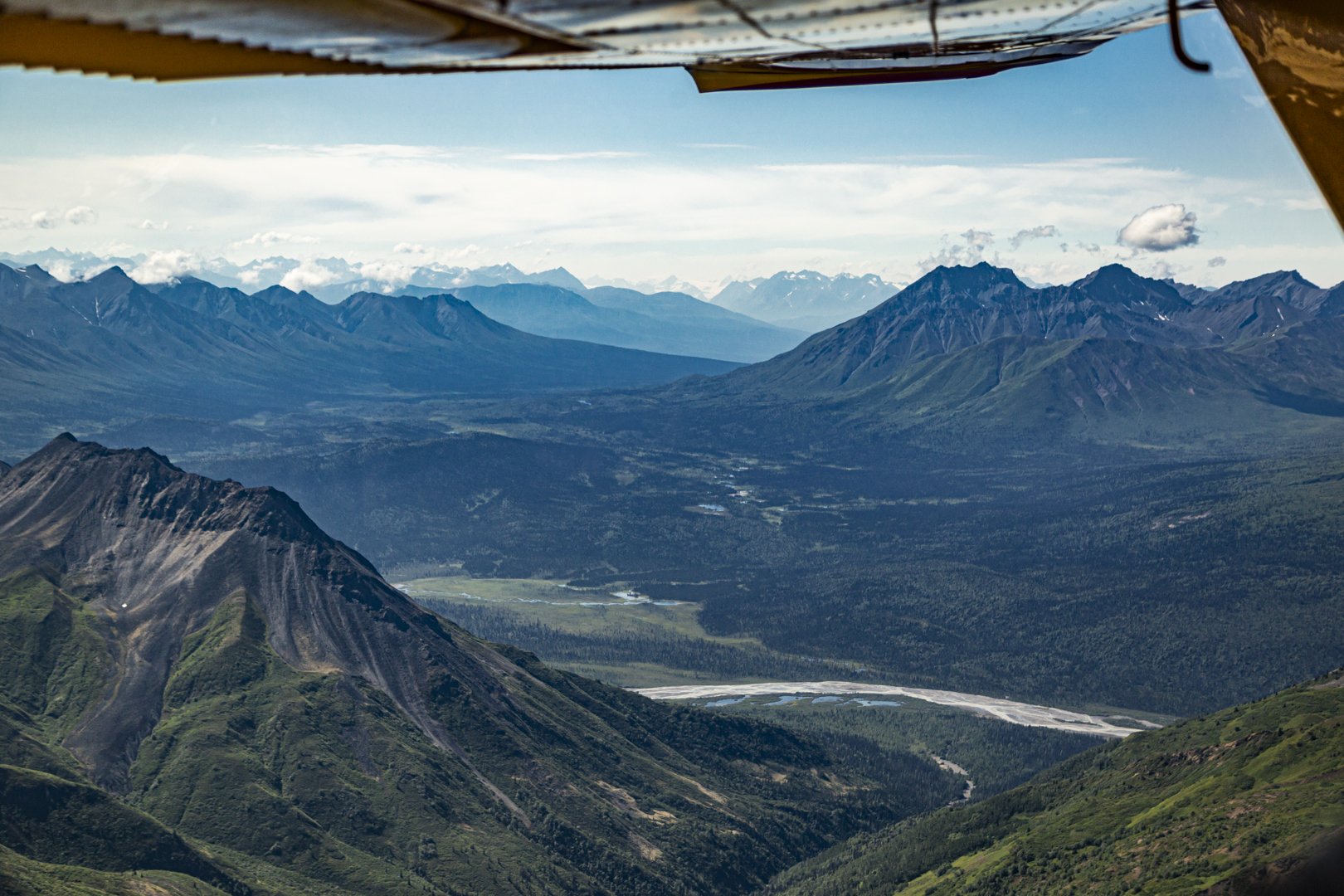
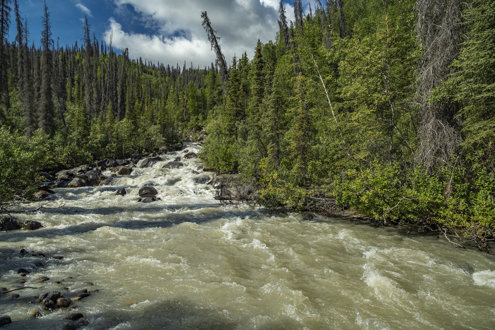
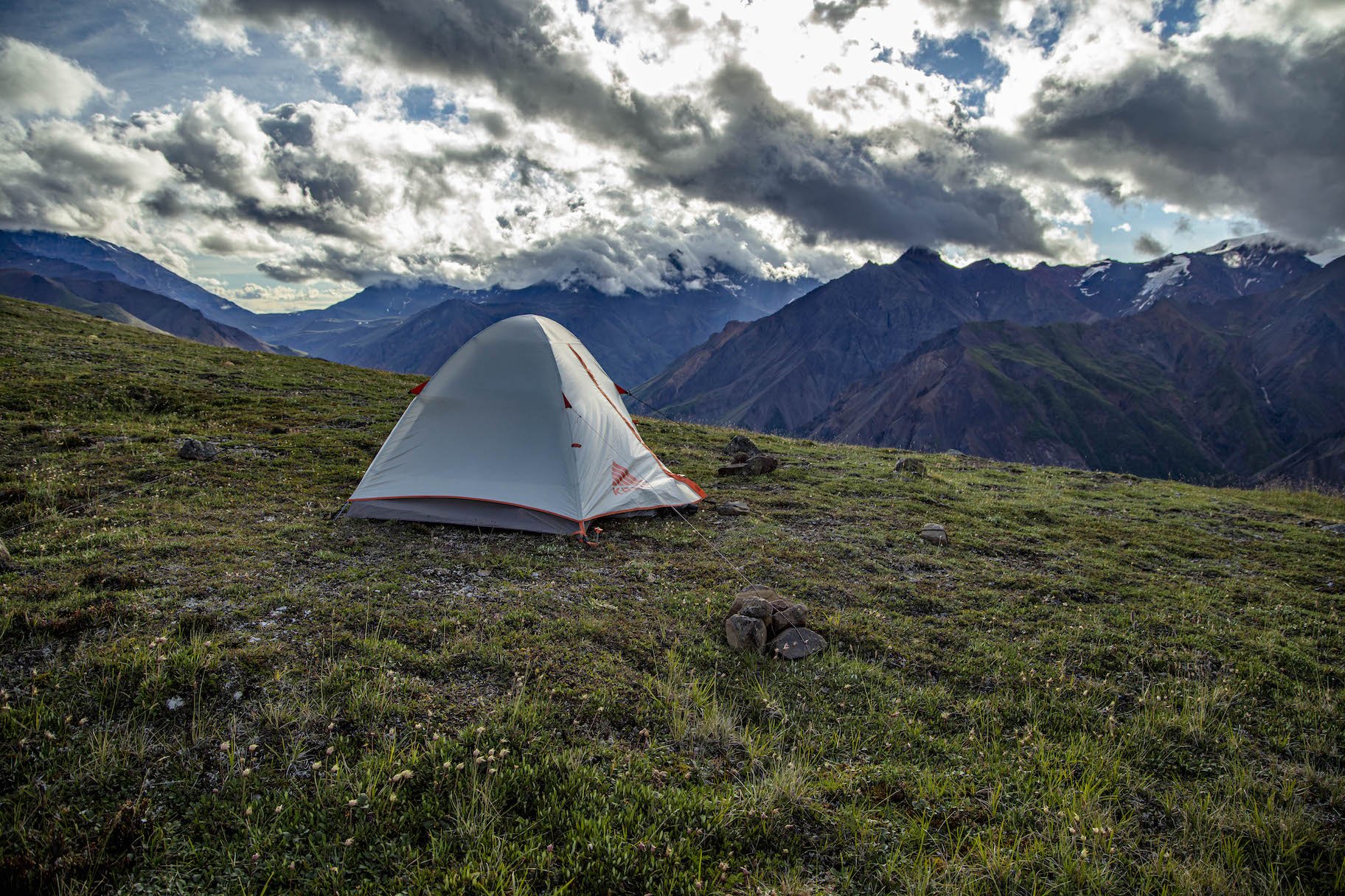
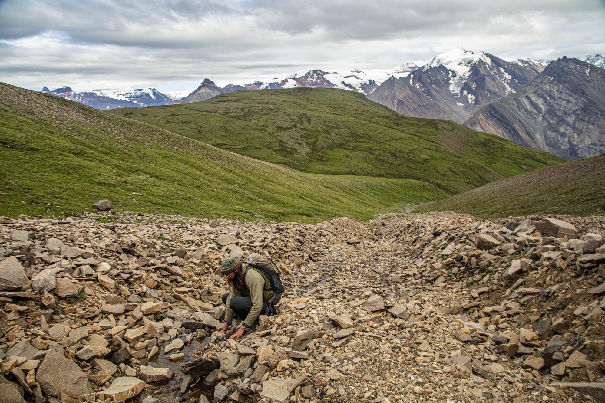
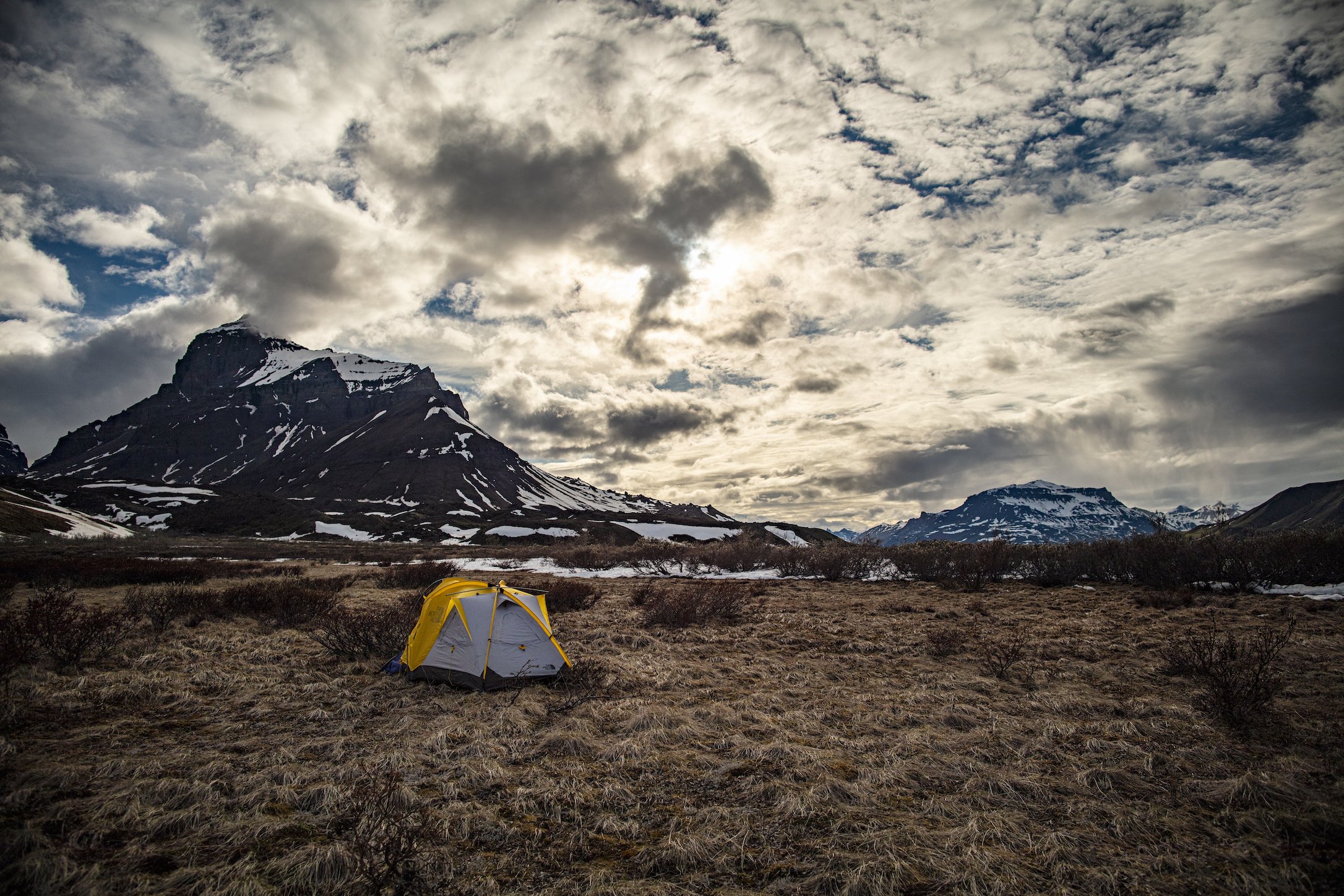
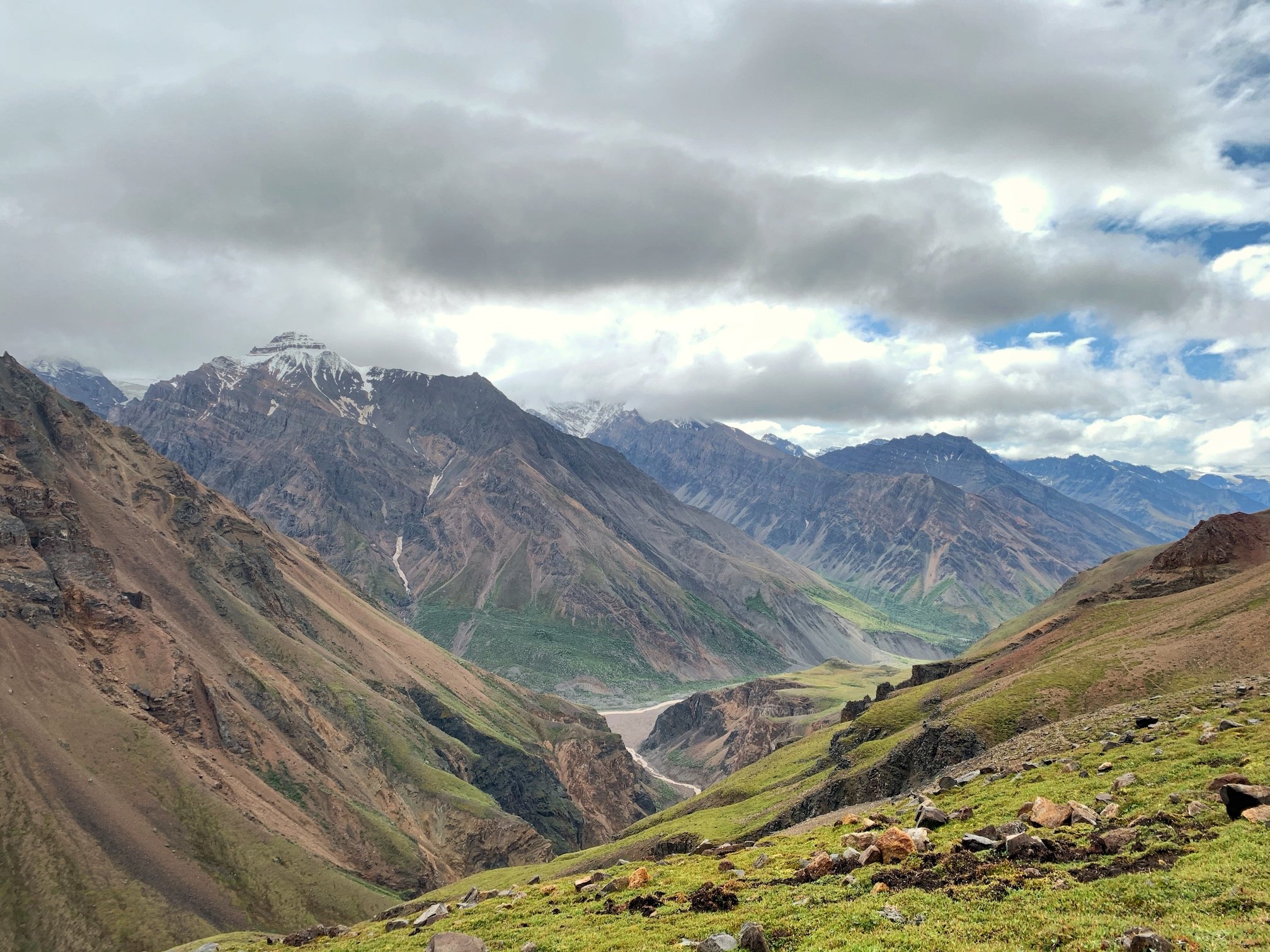
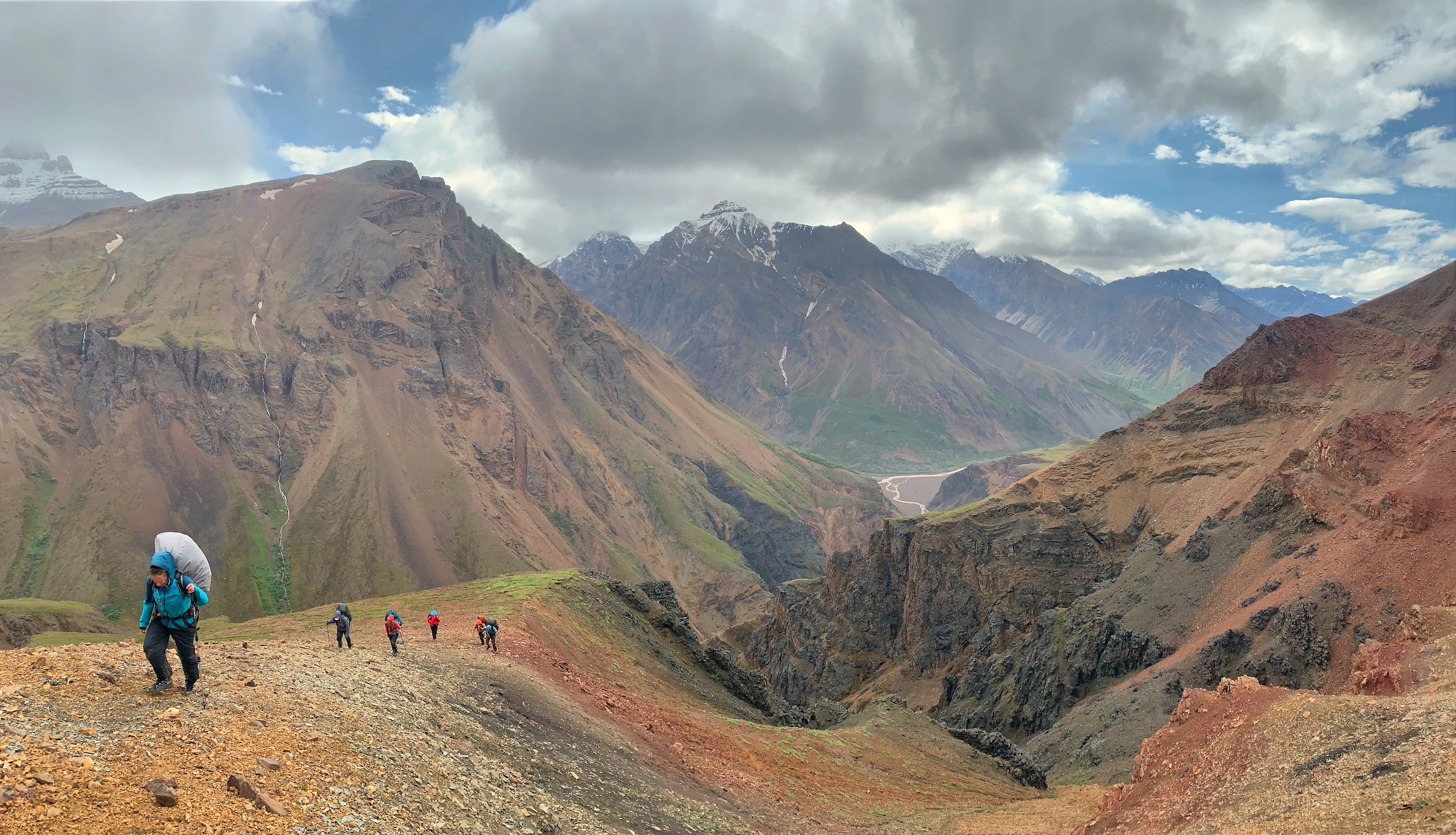
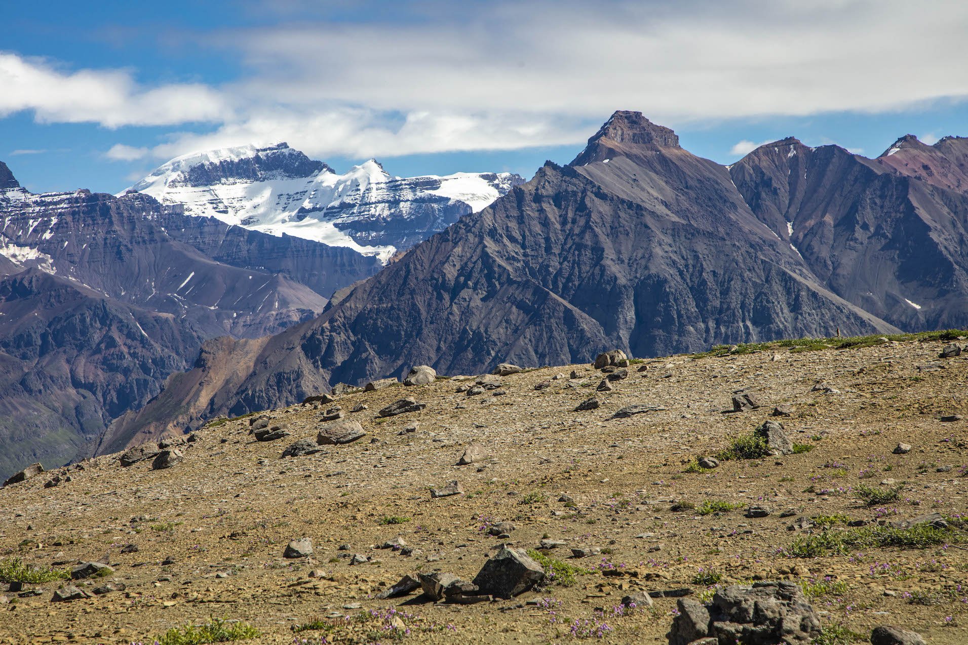
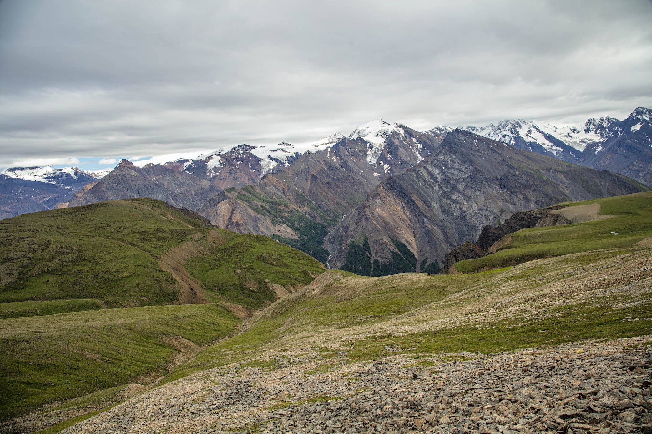
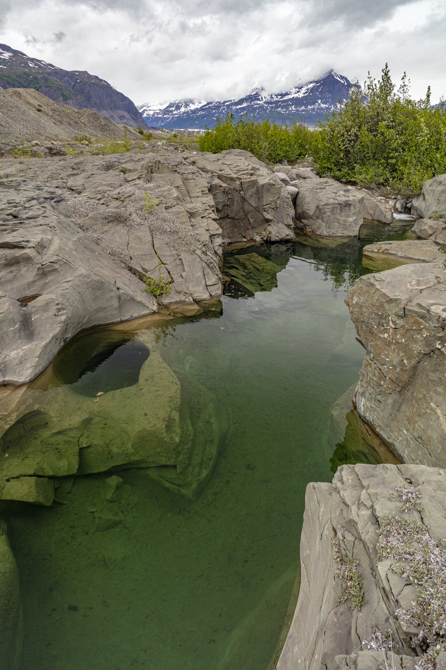
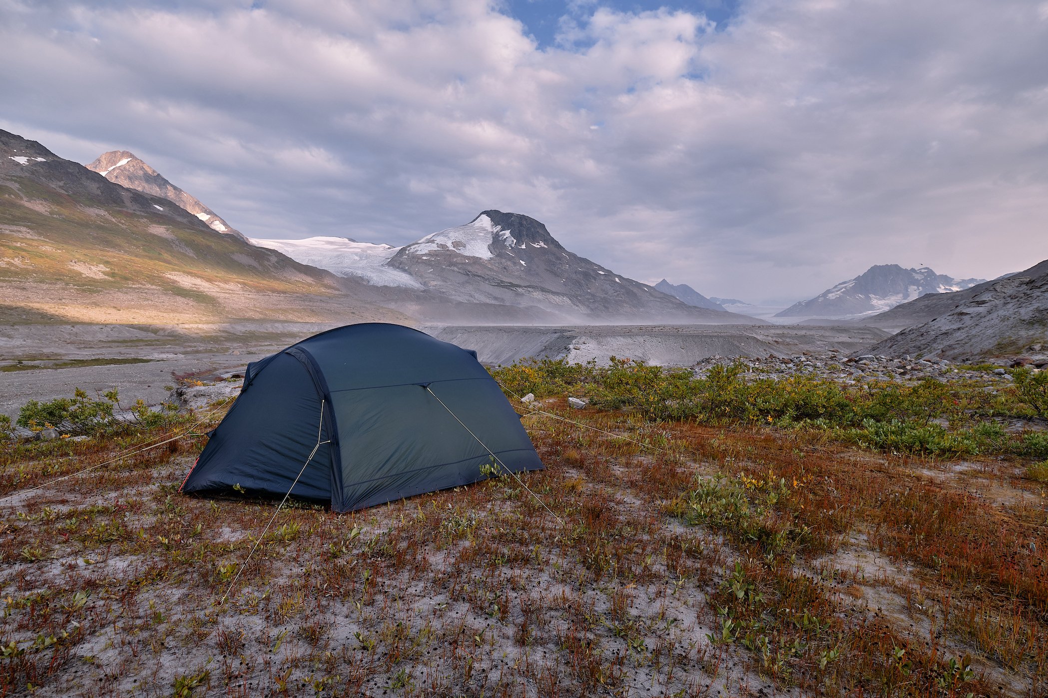
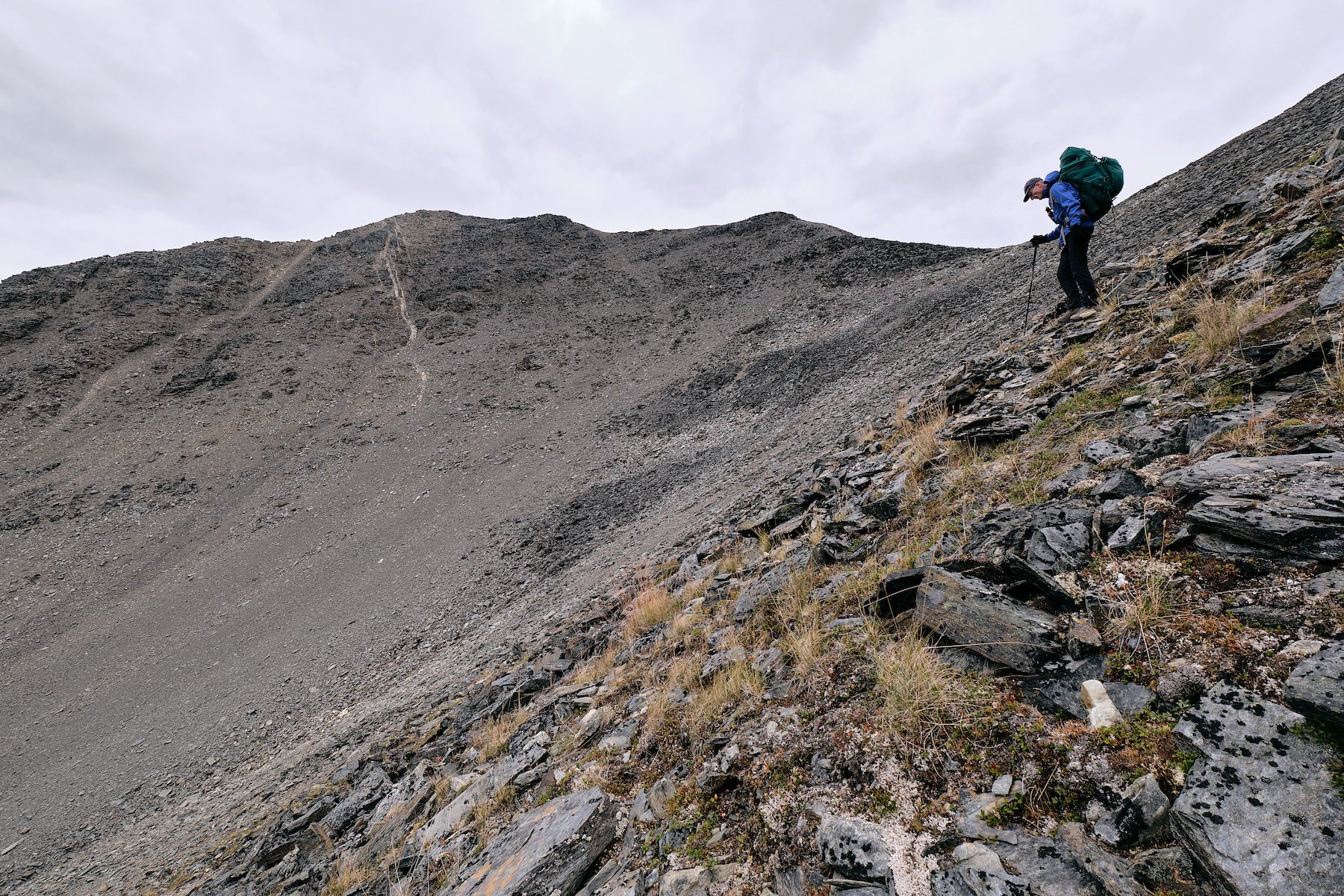
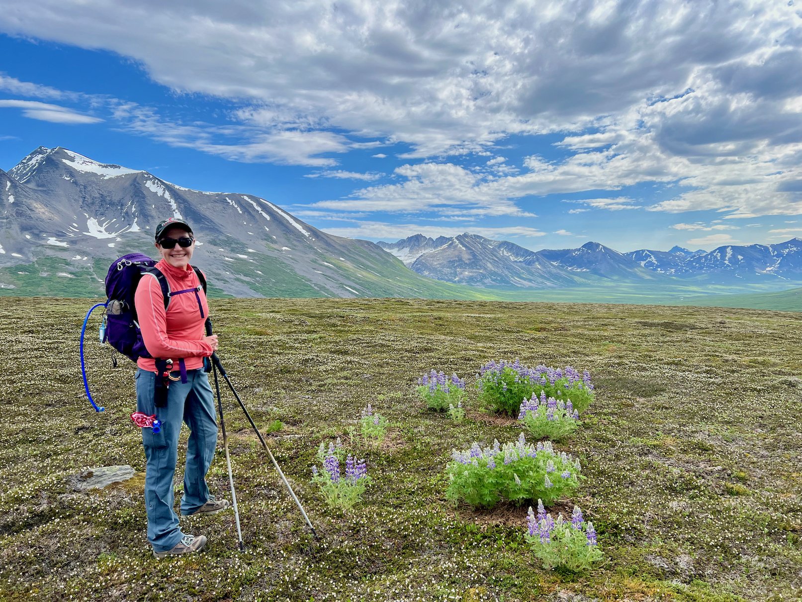
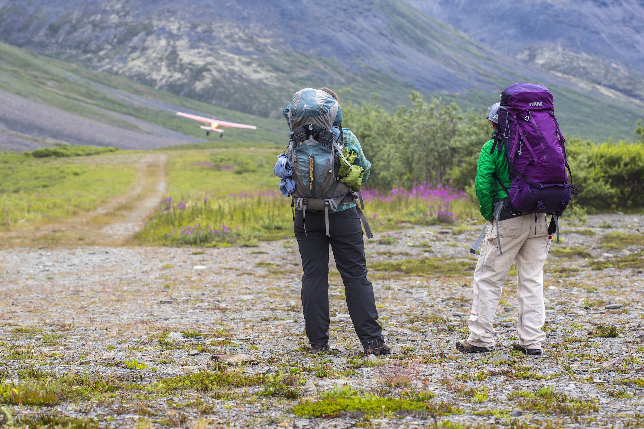
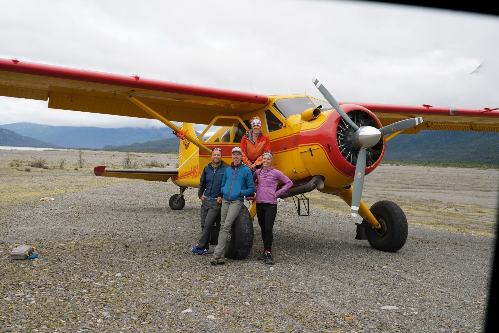
Photo by local photographer and adventurer Luke McKinney.
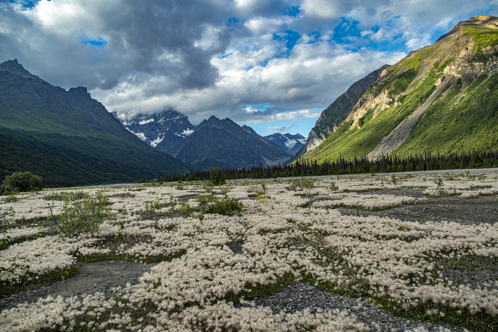
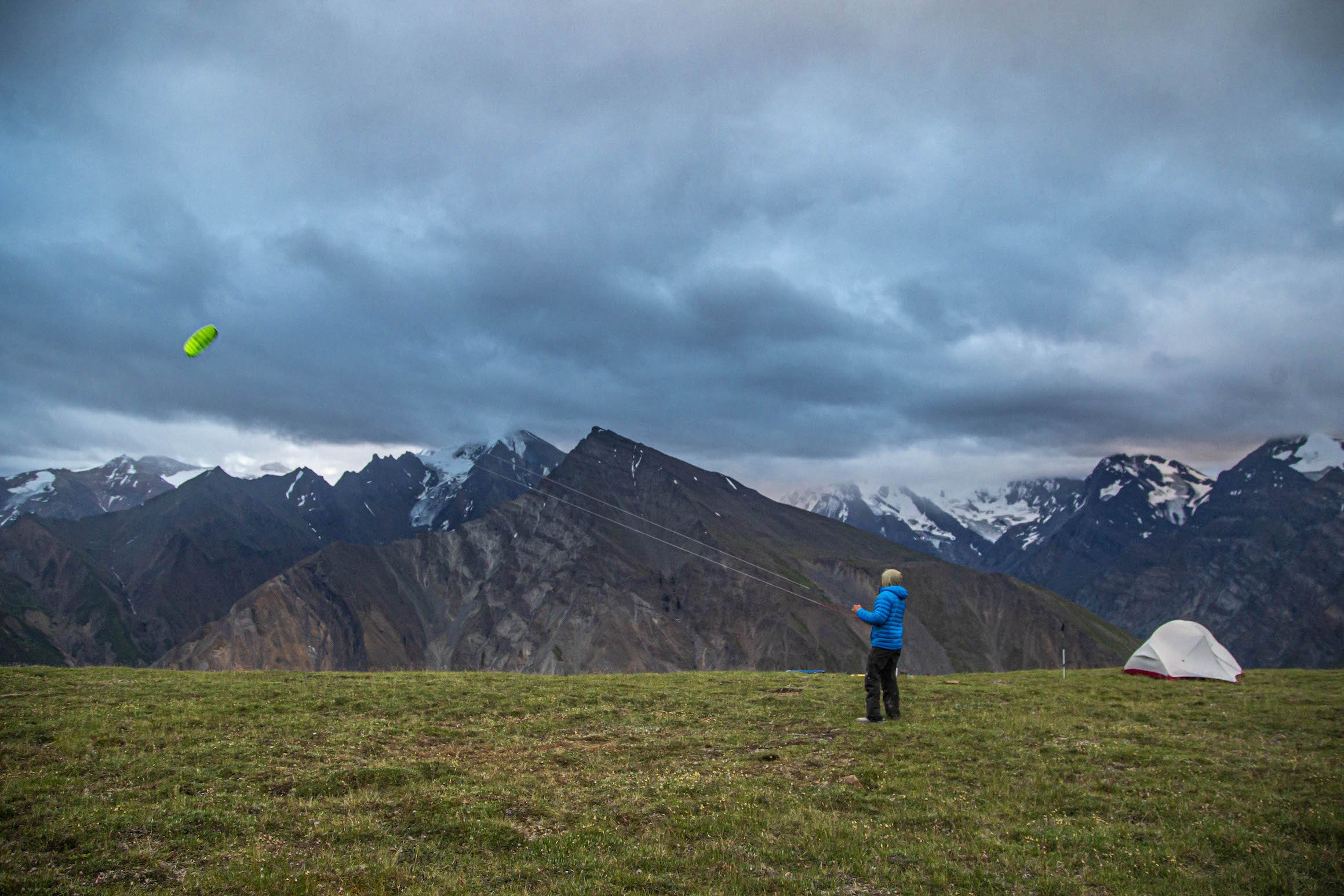
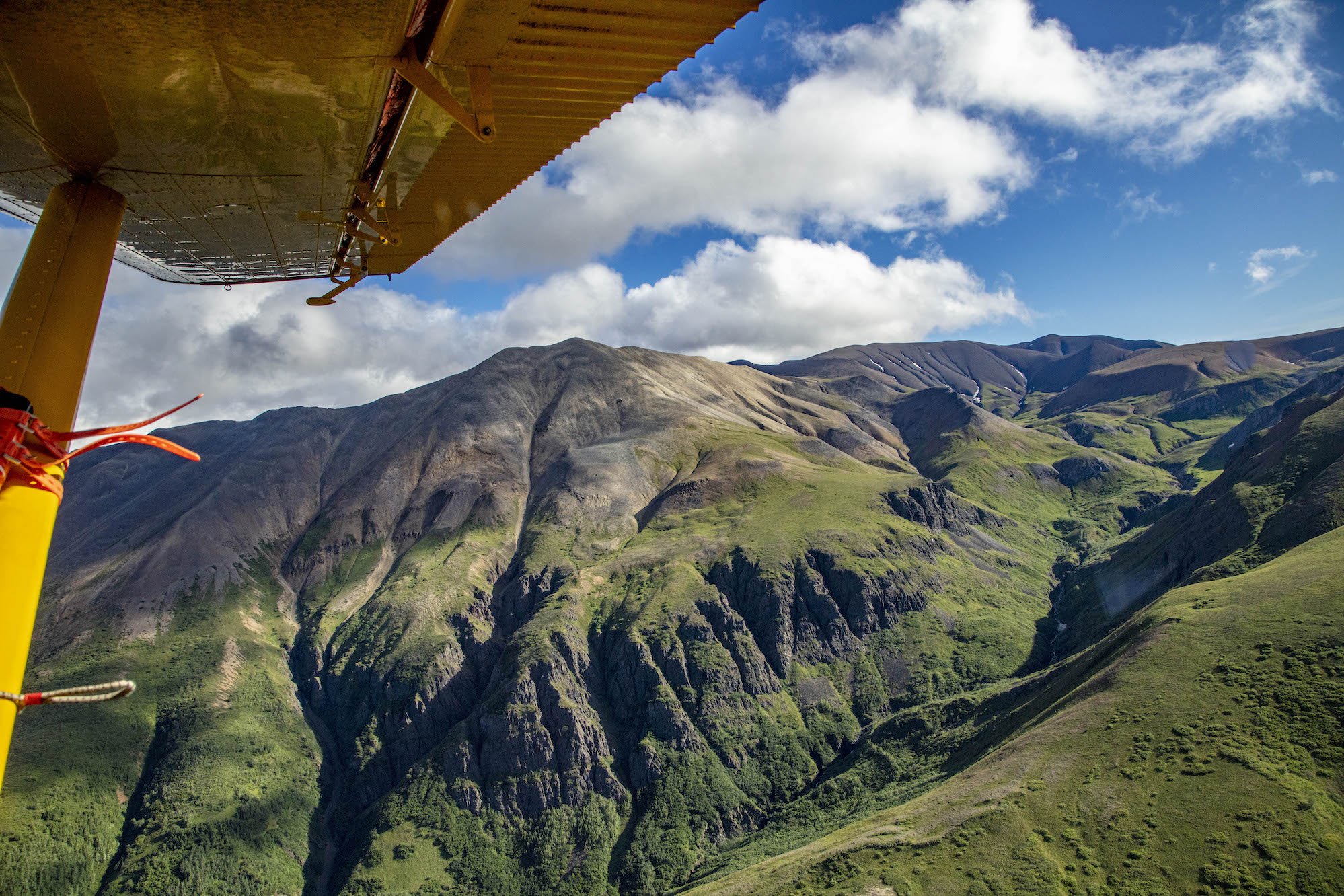
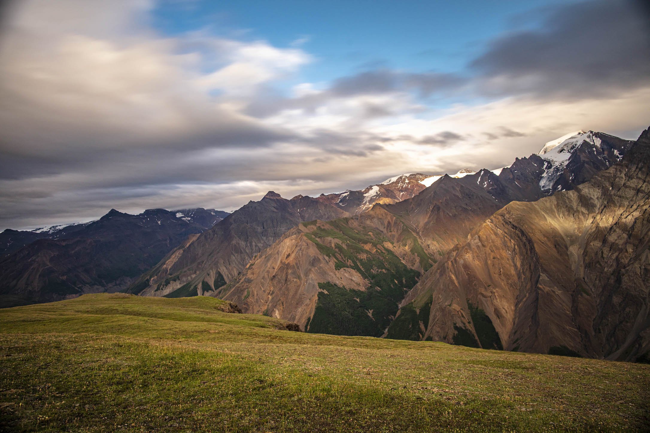
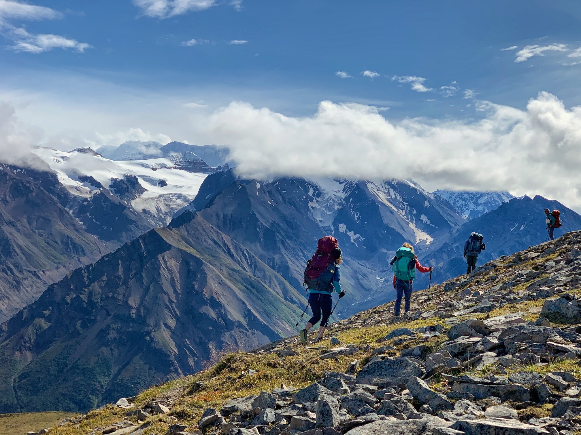
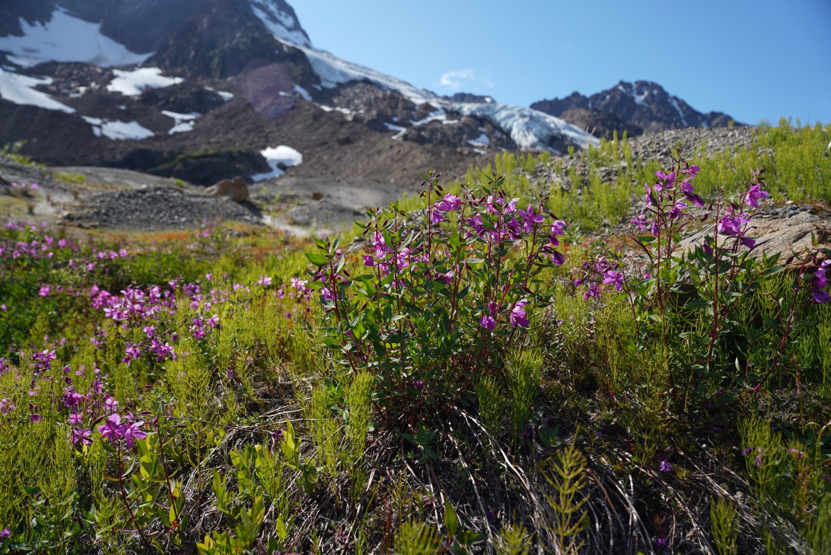
Wrangell-St. Elias National Park offers 13.2 million acres of beauty which is stunning from the air, but why not go where few (or none) have ventured before? Backpackers in this remote piece of Alaska rarely find other hikers during traverses between their drop-off points and the airstrip at pick-up. With so much area to explore, the fly-in backpacking with a fly-out pickup may be a once-in-a-lifetime experience (though, we do frequently have repeat customers come back for more such backcountry adventure!)
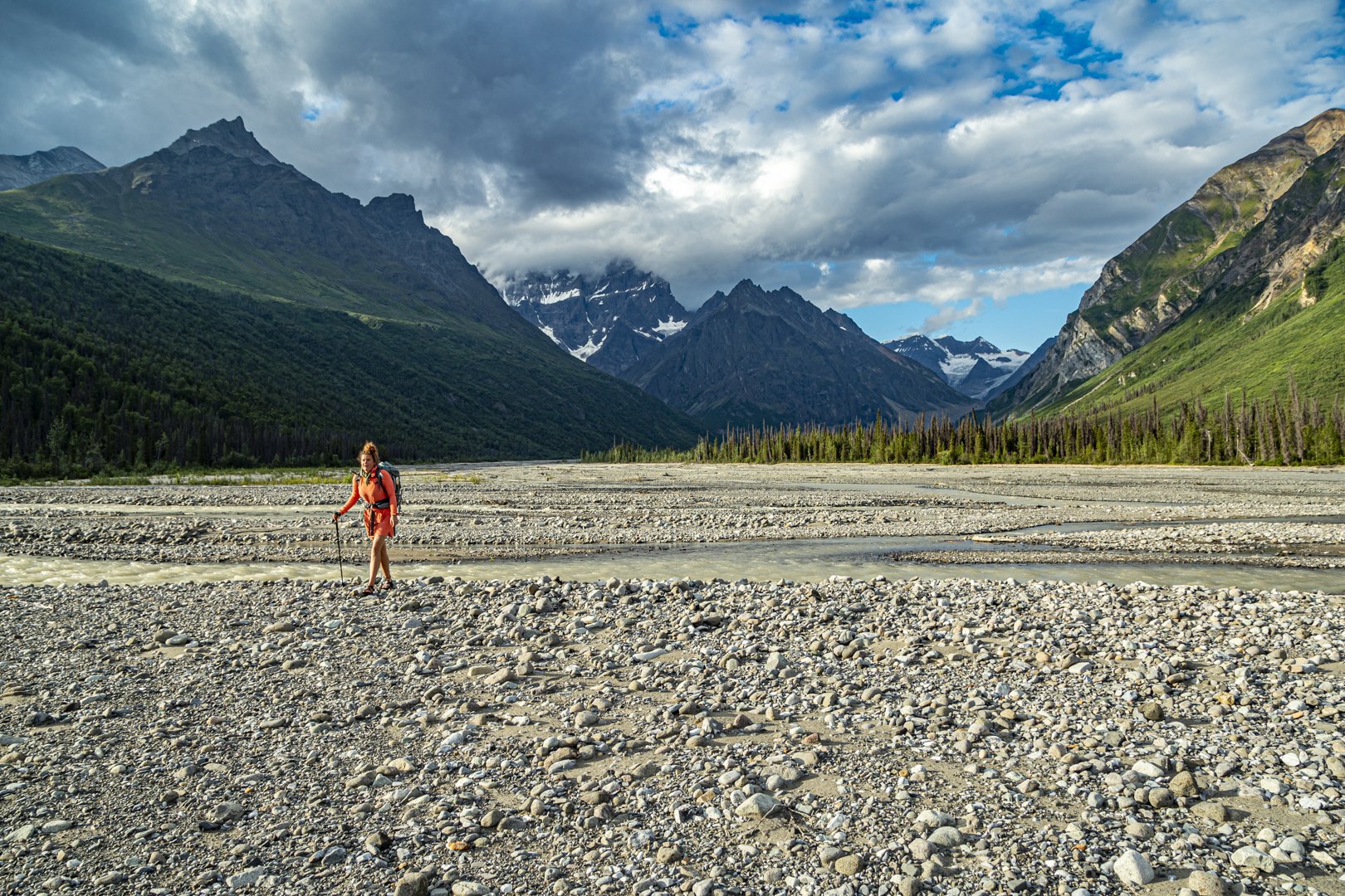
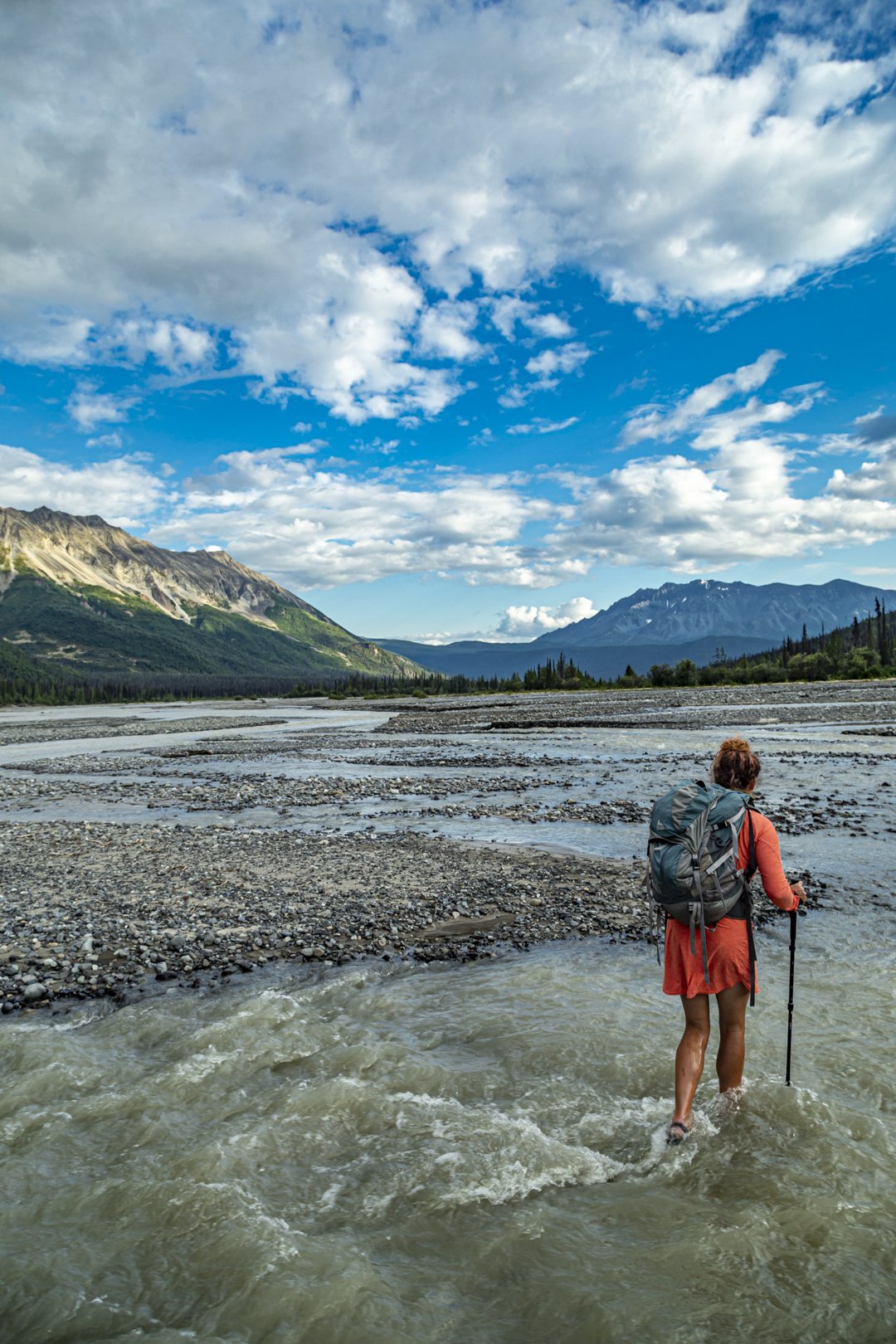
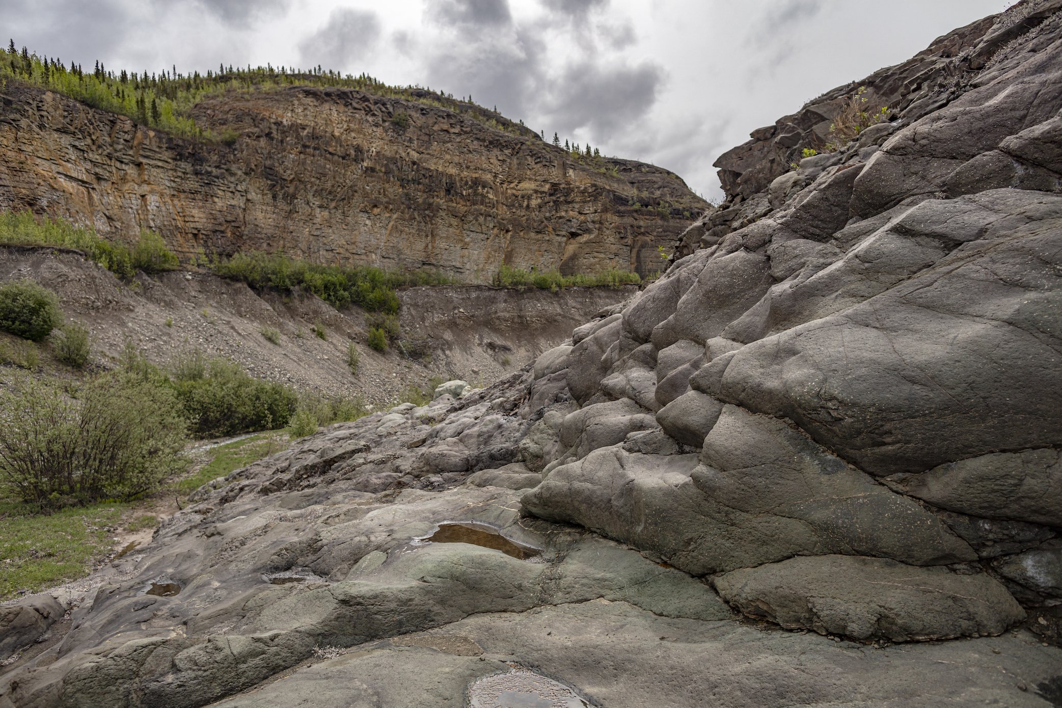
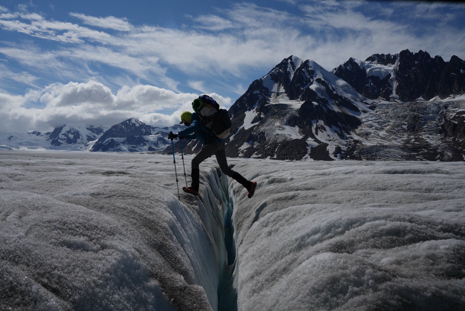
Please note that backpacking in Alaska wilderness is unlike such adventures in other places. Most of the routes below do not follow trails; each adventurer must be prepared with relevant knowledge for the chosen route that may include route finding, glacial crossings, moraine crossings, river crossings, navigating, animal encounters, scree slopes and ridges. Please click here for a good overview of backcountry safety tips.
2025 Season Backcountry Drop-off / Pickup Pricing
To calculate total cost, add the price of the drop-off location with that of the pick-up spot. Be sure to consider your passenger numbers and the weight of gear to determine which aircraft is appropriate.

* hunting destination
** conditions may require cub
Weight/freight capacity
Cessna 185: 850lbs
Beaver: 1100lbs
Weather conditions may decrease load carrying capacity and require an additional airplane. $100 gear loading fee for raft trips.
Be prepared
When planning a drop-off backpacking trip, remember that there may be delays on either side of your trip due to our extreme concern for safe flying. Plan to take some extra food and supplies in case the pickup time or date is impacted by inclement weather.
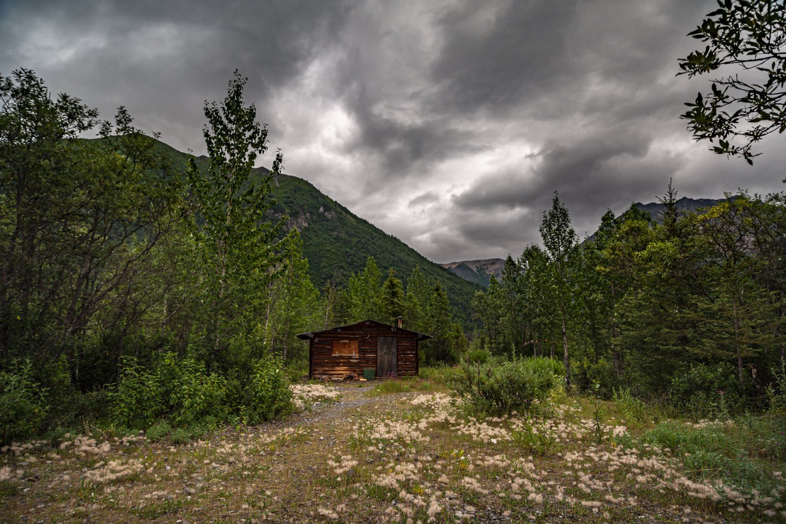
Note that Wrangell Mountain Air provides transportation only and that the below descriptions are intended to help visitors choose which routes are most appealing. We recommend visitors hire a local guide service to ensure the best experience possible. Click here for a list of local guide services. Additionally, the National Park Service can be an excellent resource for folks planning their backcountry adventure and may be emailed directly.
Solo Creek to Chisana
After a beautiful flight through Chitistone Canyon and over the White River, you’ll land at 3600’ near Solo Creek. Passing several small lakes, you climb gradually to a height of 5000’, then head down to Geohenda Creek and along its rocky bank to Chisana. A public use cabin is available along the trail and in Chisana.
Considerations: Stream crossings, wet terrain.
Length: 27 miles
USGS Maps: McCarthy D2,D3 Nabesna A3
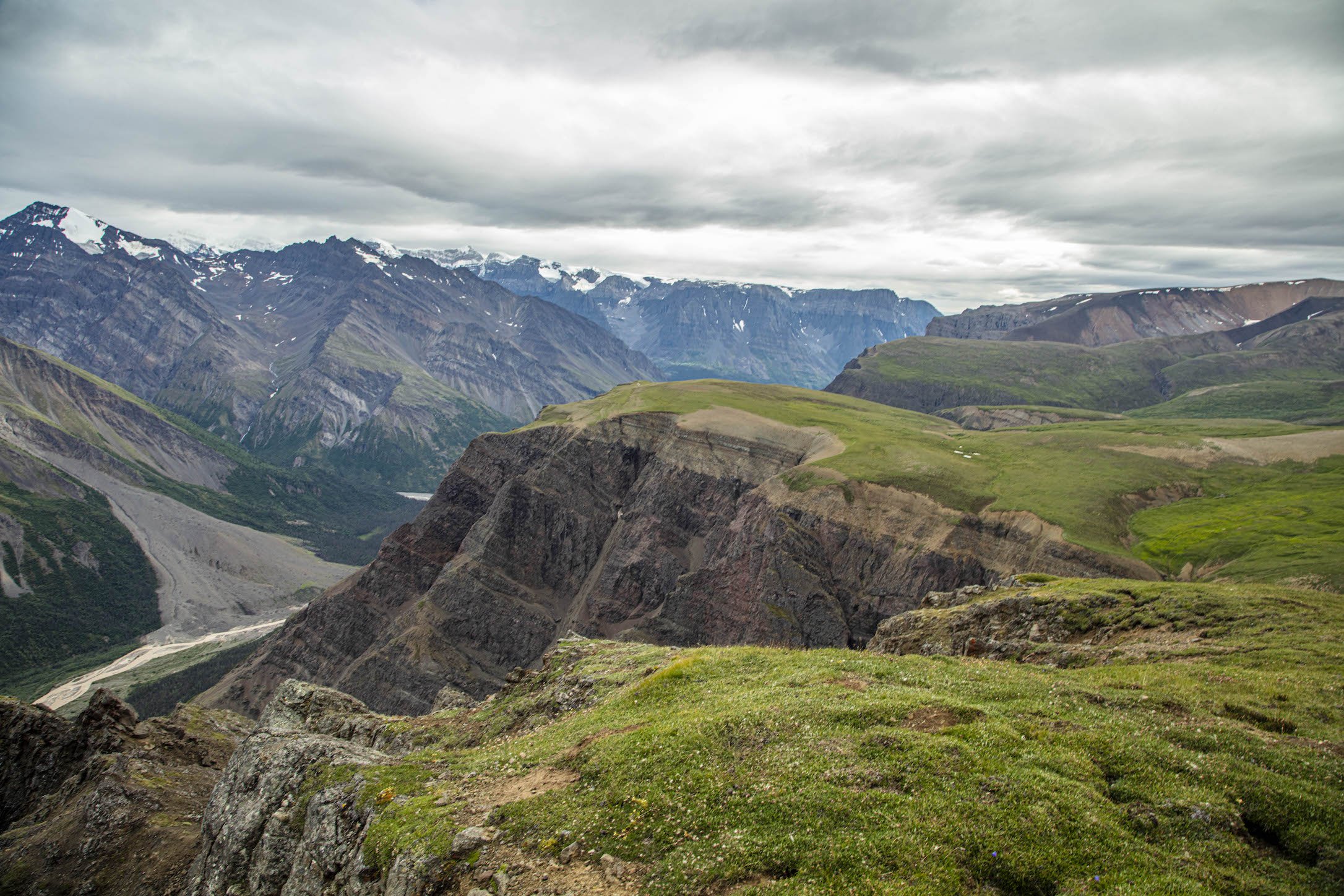
Steamboat Hills
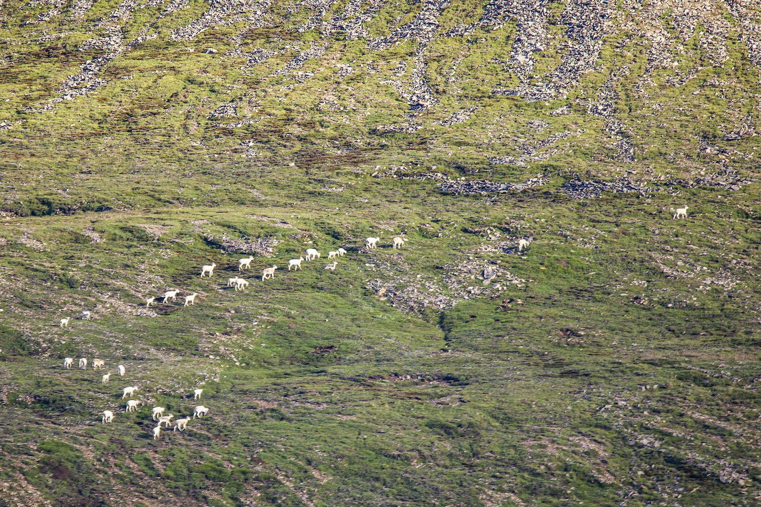
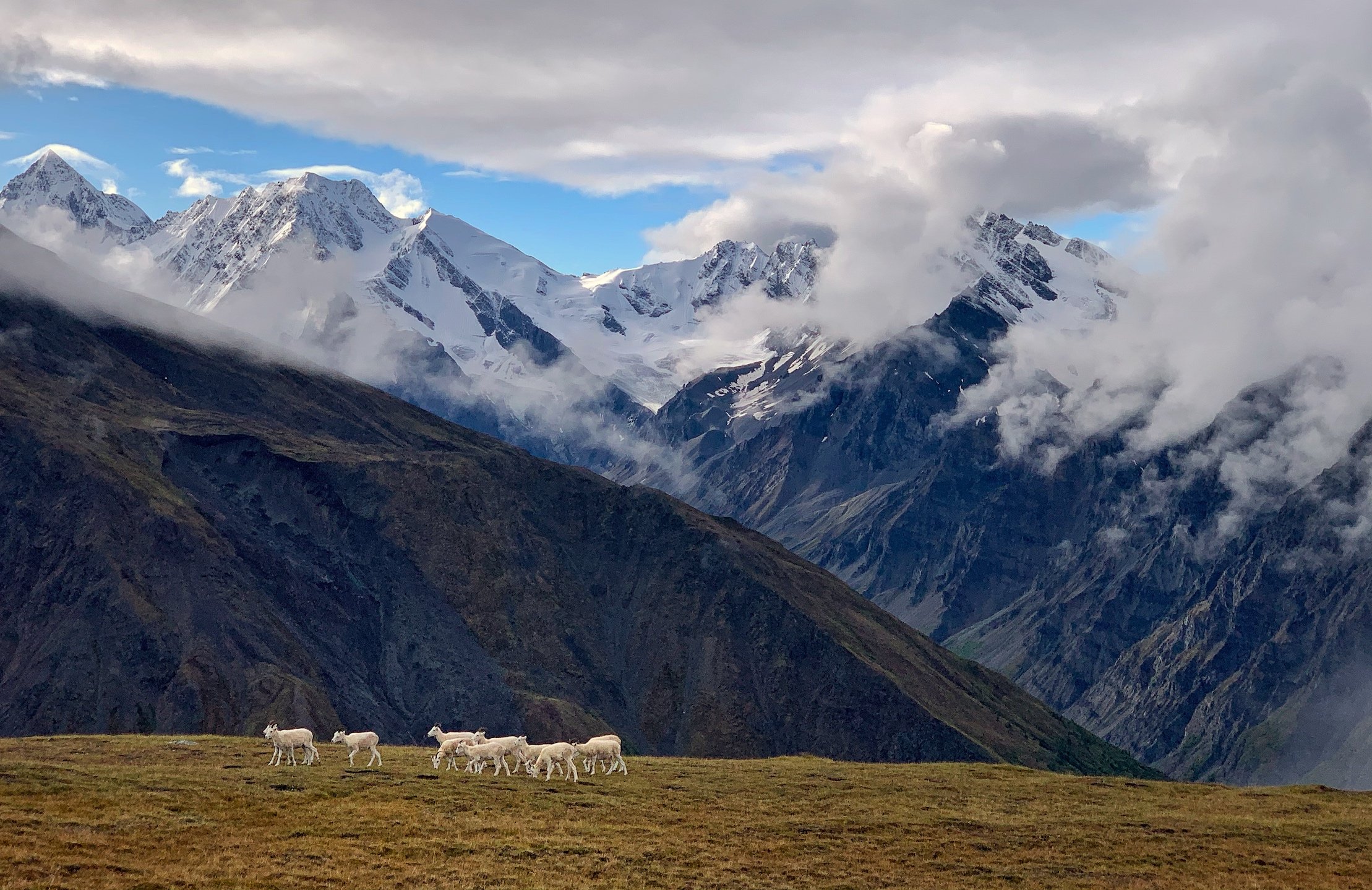
The route begins on the eastern edge of a high plateau with commanding views of the surrounding area including a view into the expansive Chitina River valley to the north. Work your way across this undulating plateau taking time to explore the many lakes that are hidden behind gentle ridges or tucked away in dramatic cirques at the feet of jagged peaks. The wide open terrain makes Dall sheep easy to spot from afar. This is an excellent introduction to backpacking in the Alaskan backcountry and a great choice for family trips. This route can also be done as a basecamping trip.
Considerations: Stream crossings.
Length: 15-18 miles
USGS Maps: Bering Gl. D6, D7, McCarthy A7, A8, B7, B8
Beaver Creek
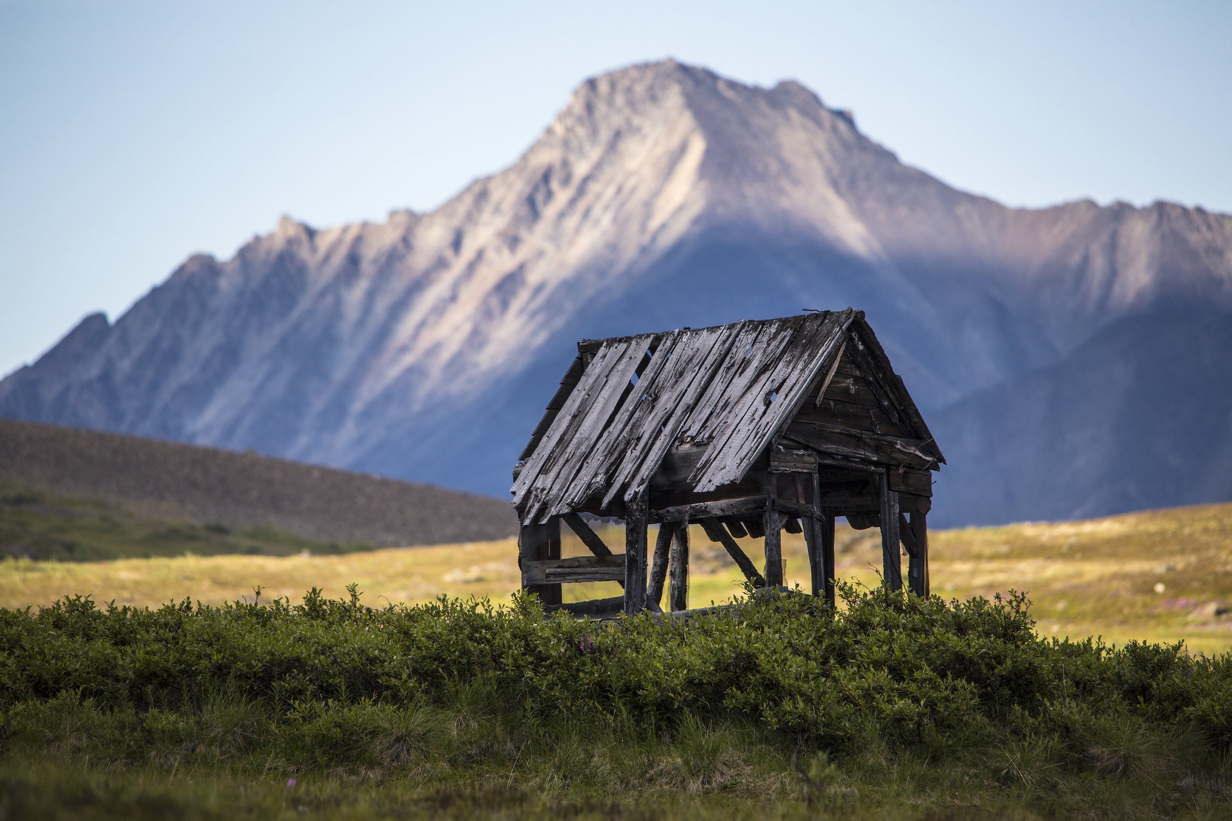
The route follows gentle terrain along Beaver Creek and leads to the historic Chisana (Shushanna) gold district - site of the last great Gold Rush in 1913. History buffs may enjoy searching the area for old cabins and artifacts (not to be removed from the Park please). An extra day or two will allow for a day hike up Carl Creek or Grayling fishing at Beaver Lake. The trail at Beaver Lake continues to the settlement of Chisana. Rustic lodging is available at Chisana, and a restored historic cabin is also available for public use.
Considerations: Stream crossings, disappearing trail, wet tundra.
Length: 28 miles
USGS Maps: McCarthy D2, Nabesna A3
Castle Peak Route
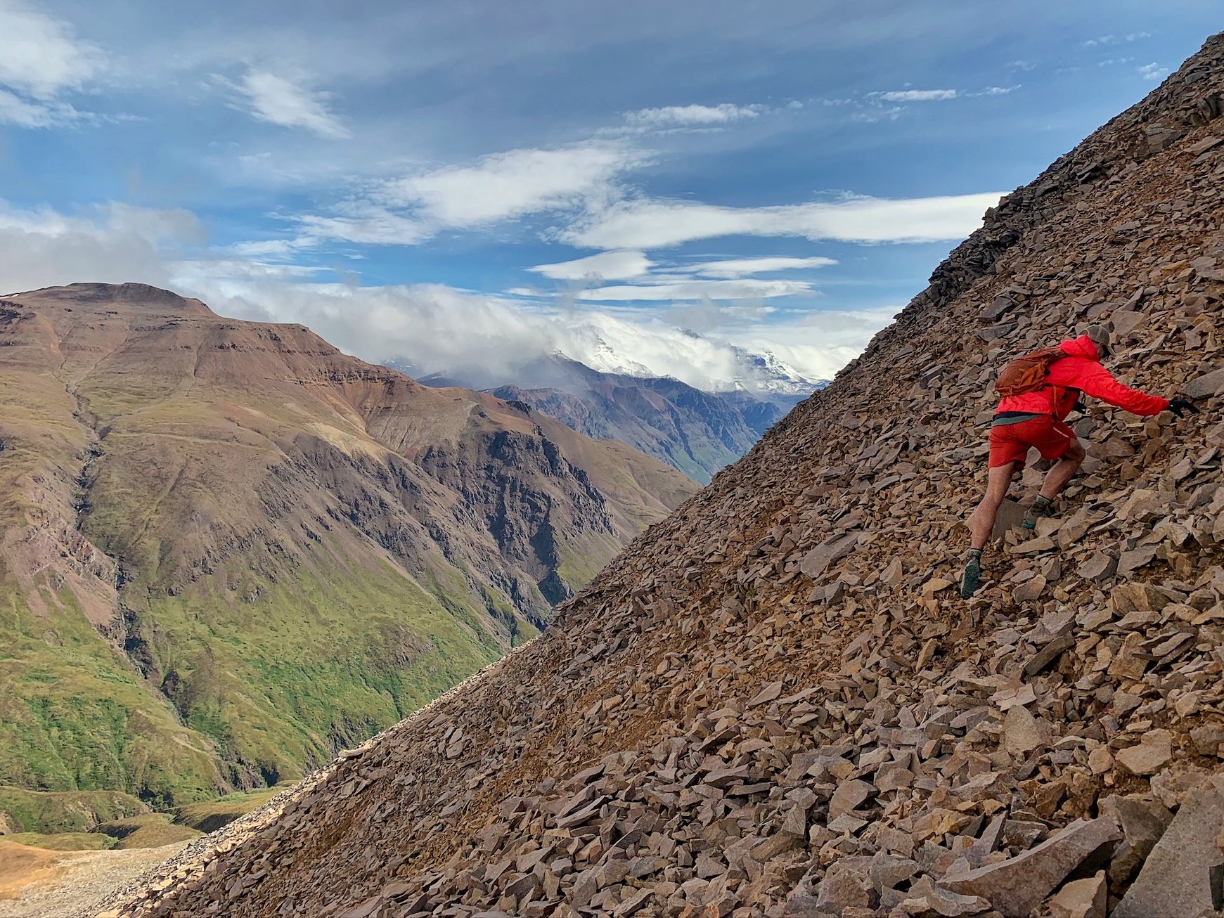
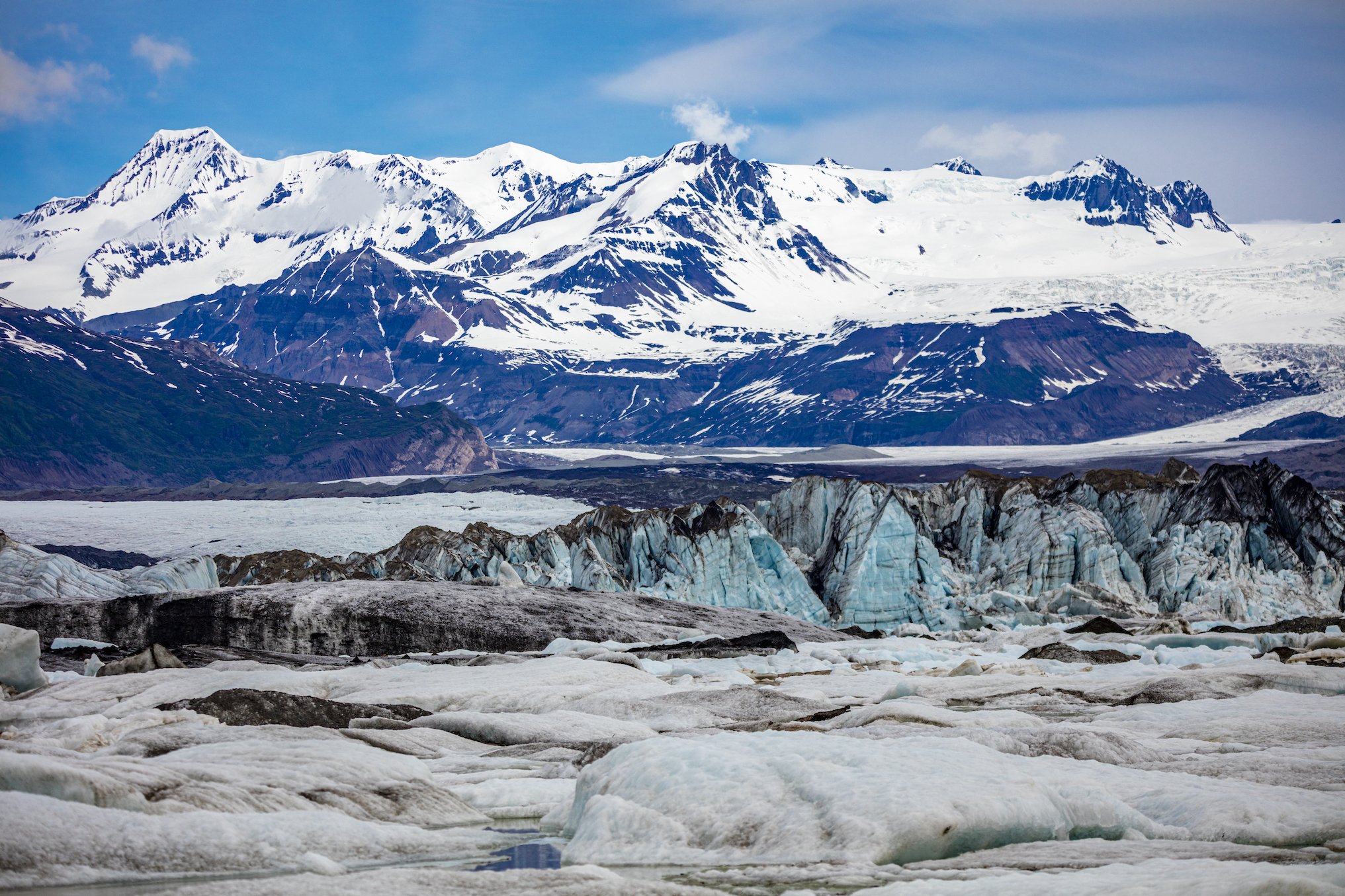
A short flight over Kennicott Glacier takes you to a small airstrip at the Fosse. Guarded at its end by an ice-dammed lake which drains annually, this canyon offers amazing scenery. Steep limestone cliffs, cut by waterfalls, offer bands of Dall sheep and mountain goats safety from the canyon’s predators - wolves, wolverine, foxes, grizzlies and black bears. The route ascends this narrow canyon to a 5400’ pass and descends into the Lakina River. While in the pass, visit one of several blue-green alpine lakes and enjoy the view of steep, southeast facing Castle Peak (10,190’). From here, the route takes you down steep, rocky, scree covered slopes to the landing strip on a gravel bar of the Lakina River.
Considerations: River crossings, extended traversing of steep slopes.
Length: 12 miles
USGS maps: Bering Gl. D6, D7 and McCarthy C6, C7
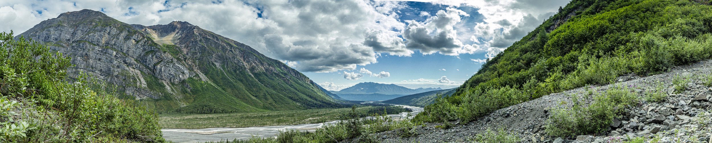
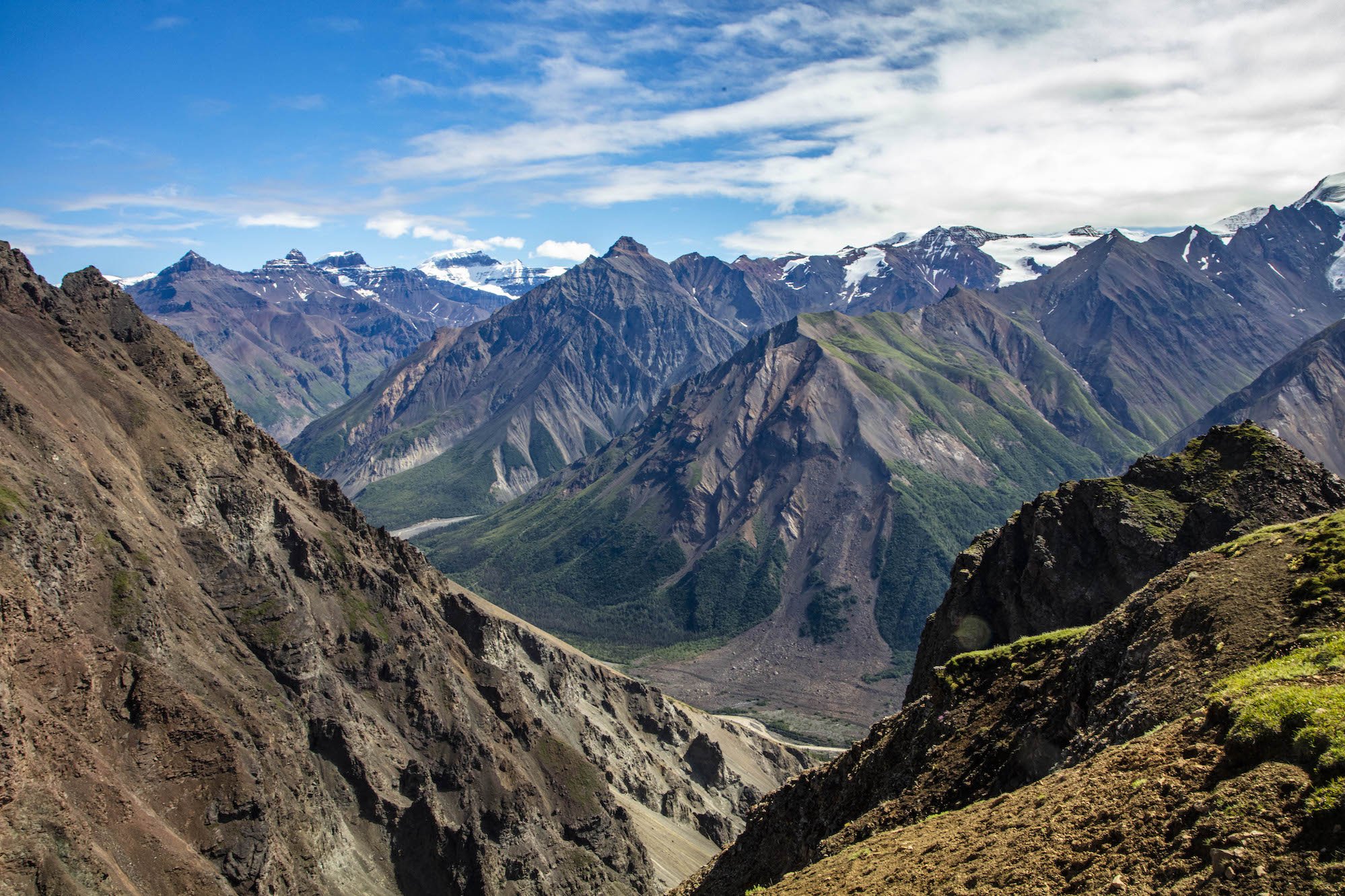
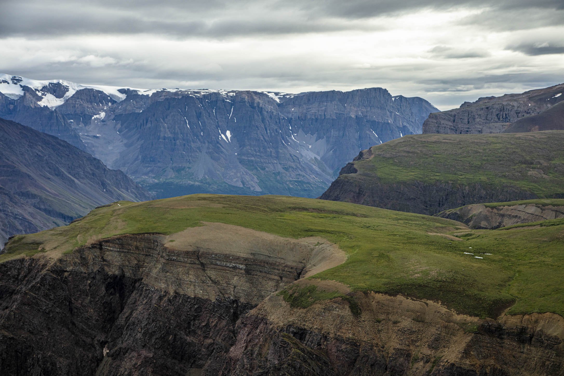
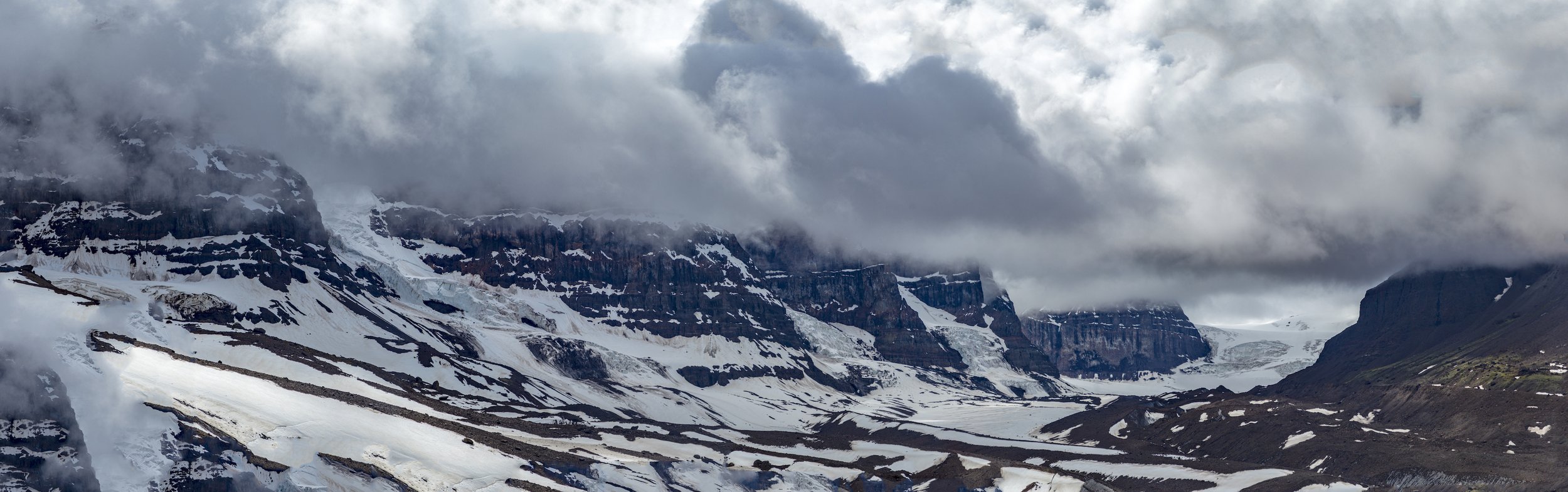
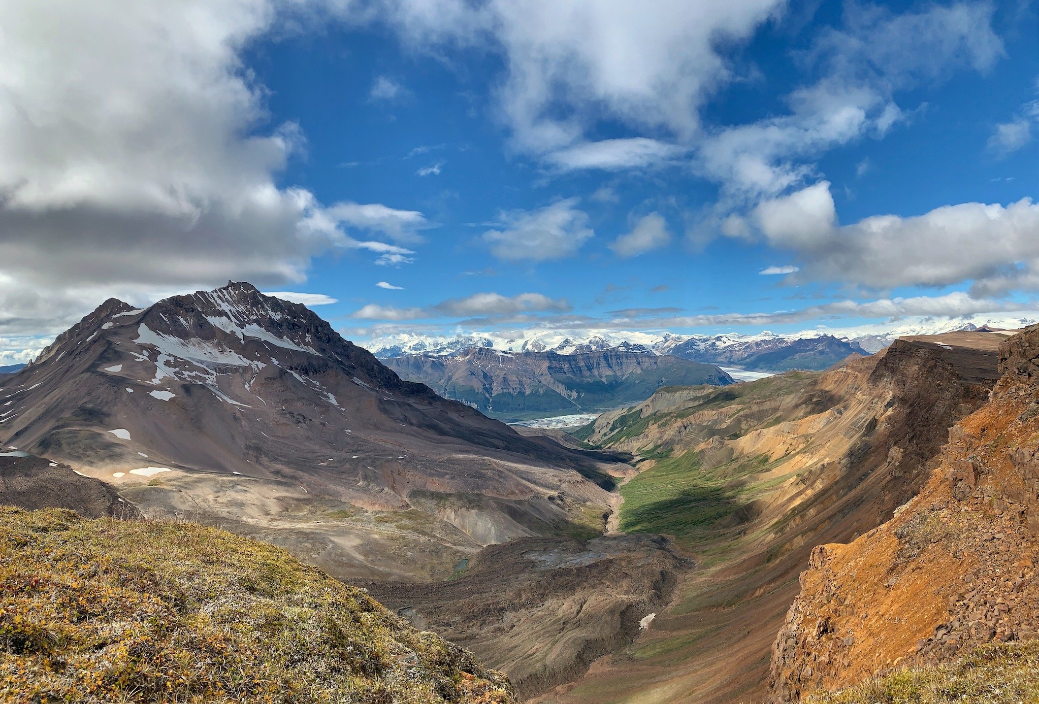
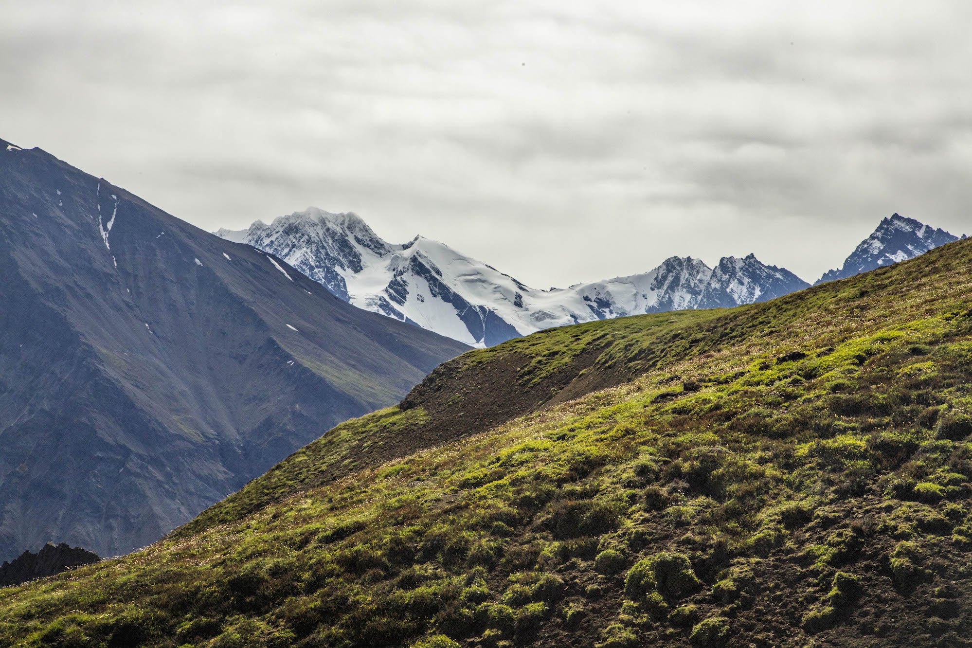
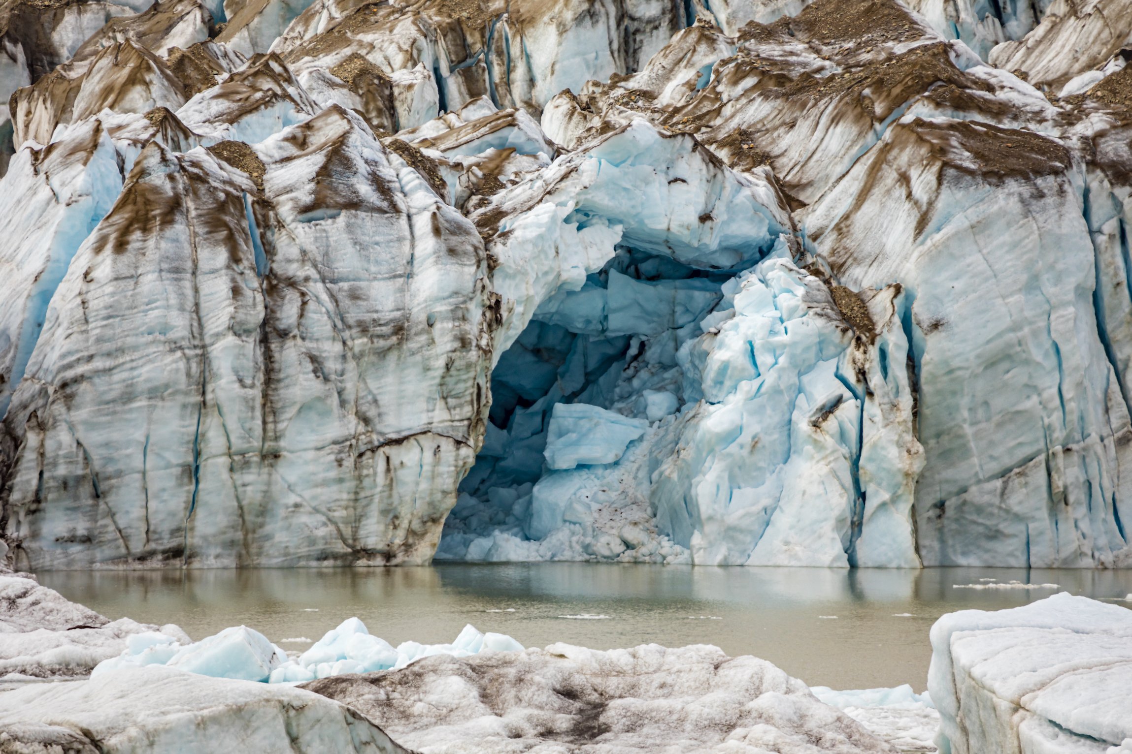
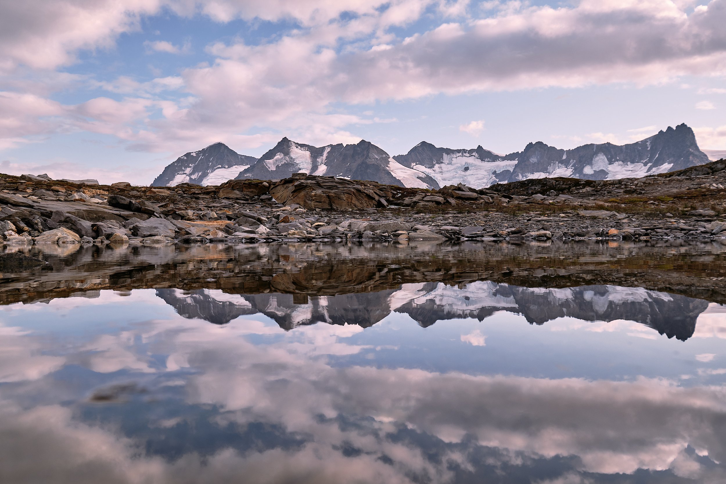
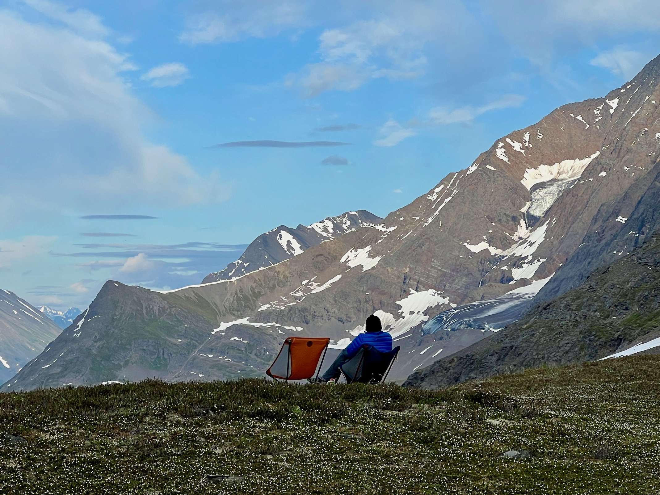
Photo by local photographer and adventurer Luke McKinney.
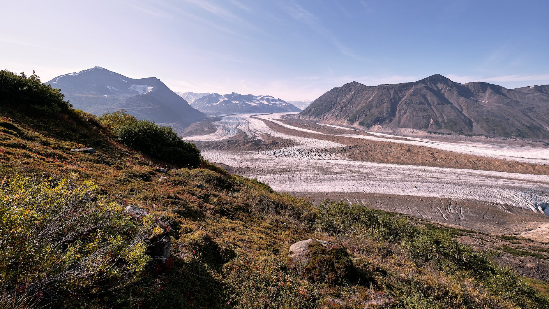
Wolverine Circumnavigation
A great variation that is surprisingly seldom done. Instead of base-camping at Wolverine, try this interesting circumnavigation of the mesa. See this interesting feature from every angle as you travel all the way around it. You’ll be surprised how different it looks on the back side. The route takes you through quite a variety of terrain and keeps you up in the high country for the whole trip.
Considerations: Steep traverses, moraine crossings.
Length: 11 miles
USGS maps: McCarthy C4

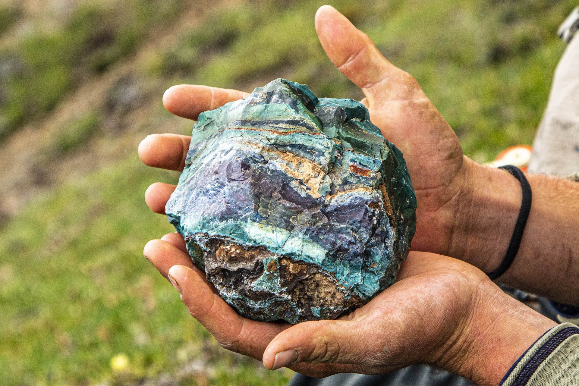
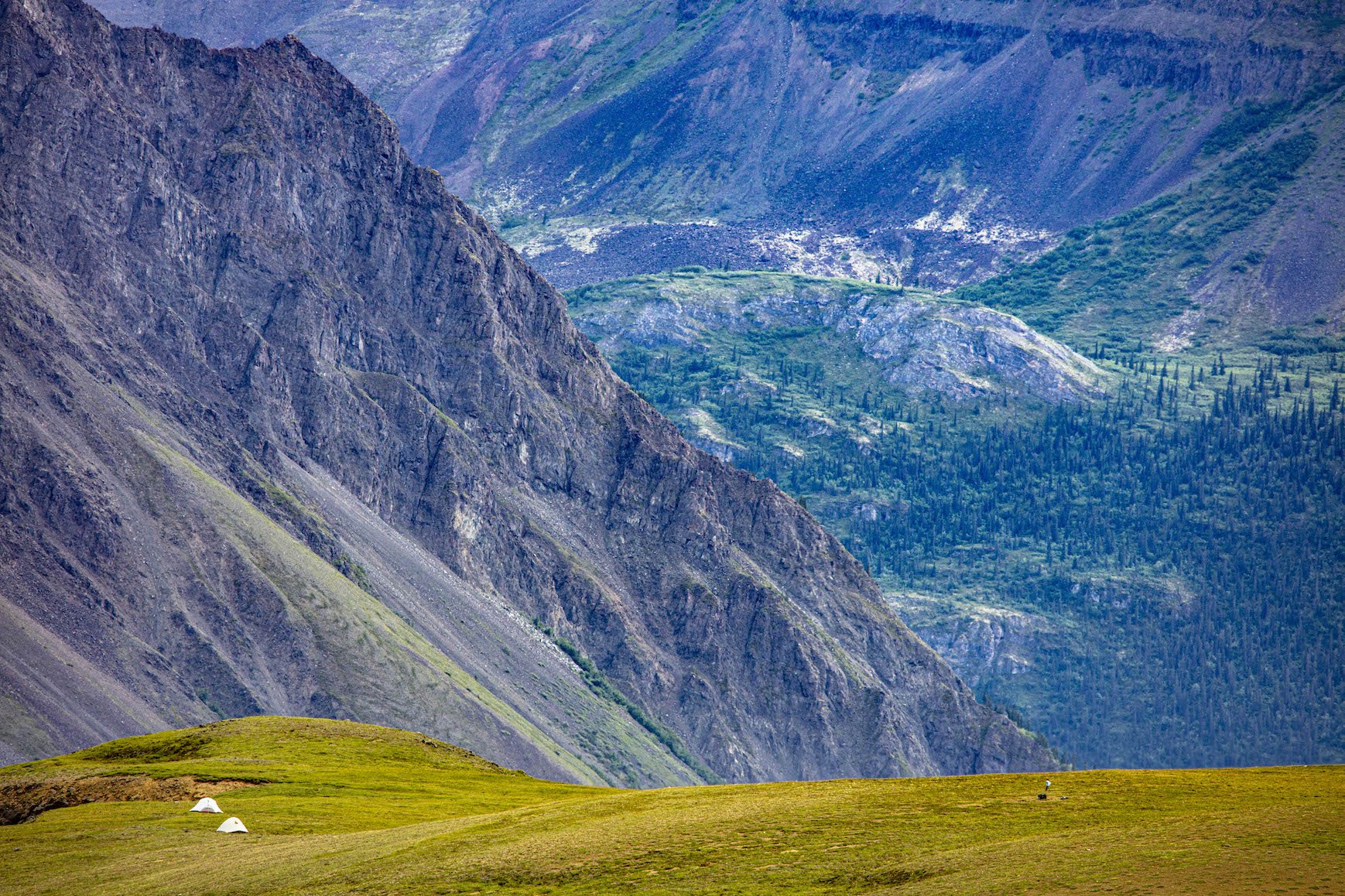
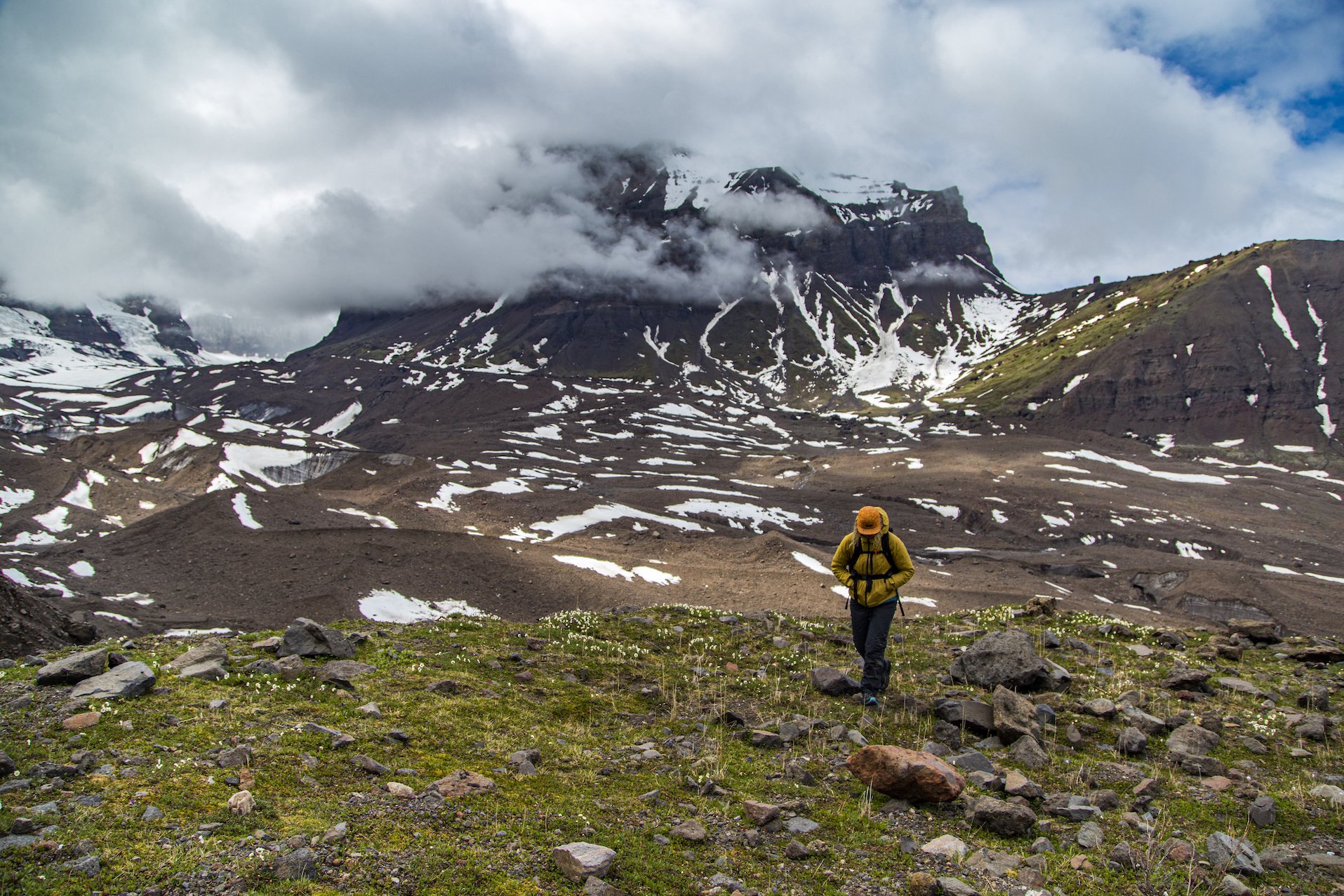
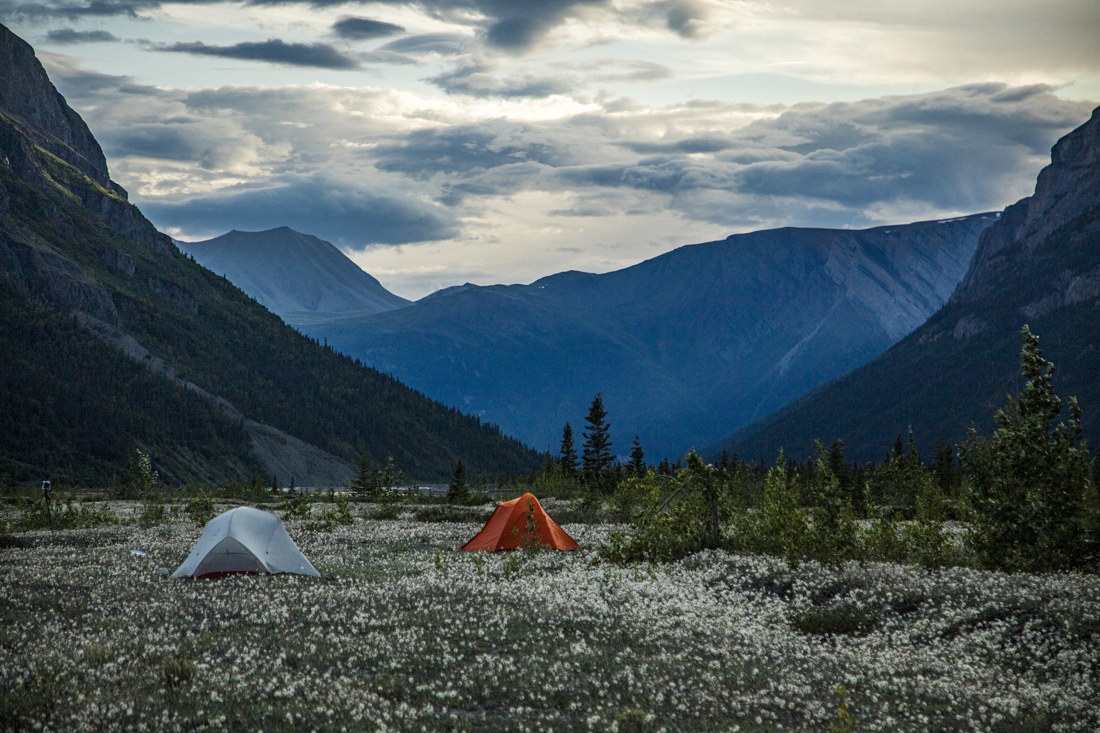
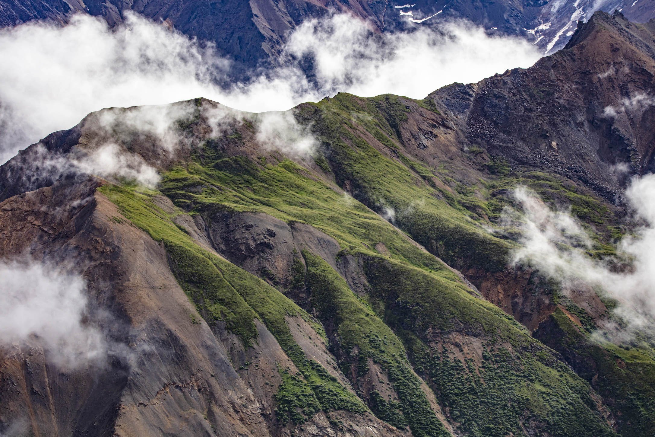
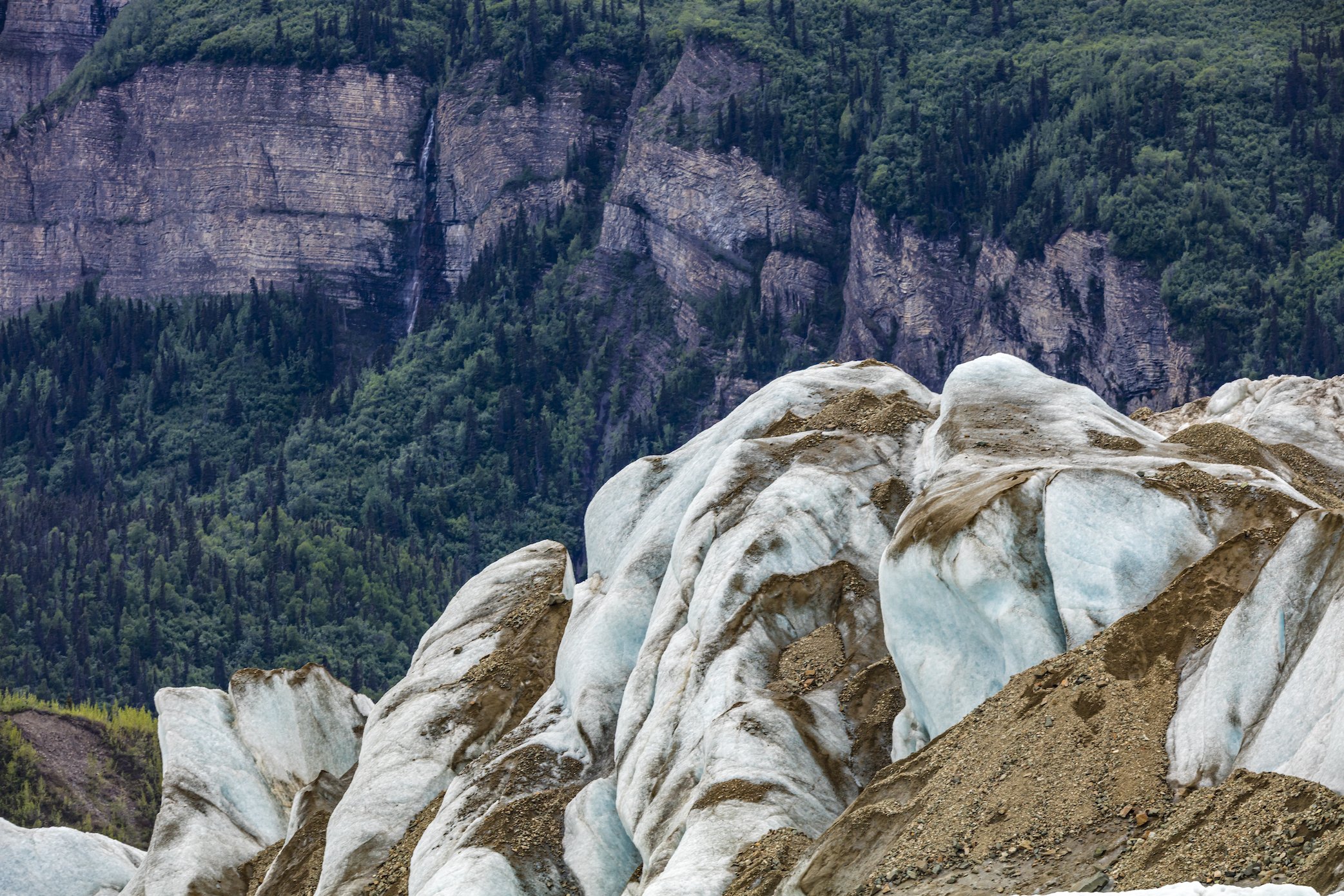
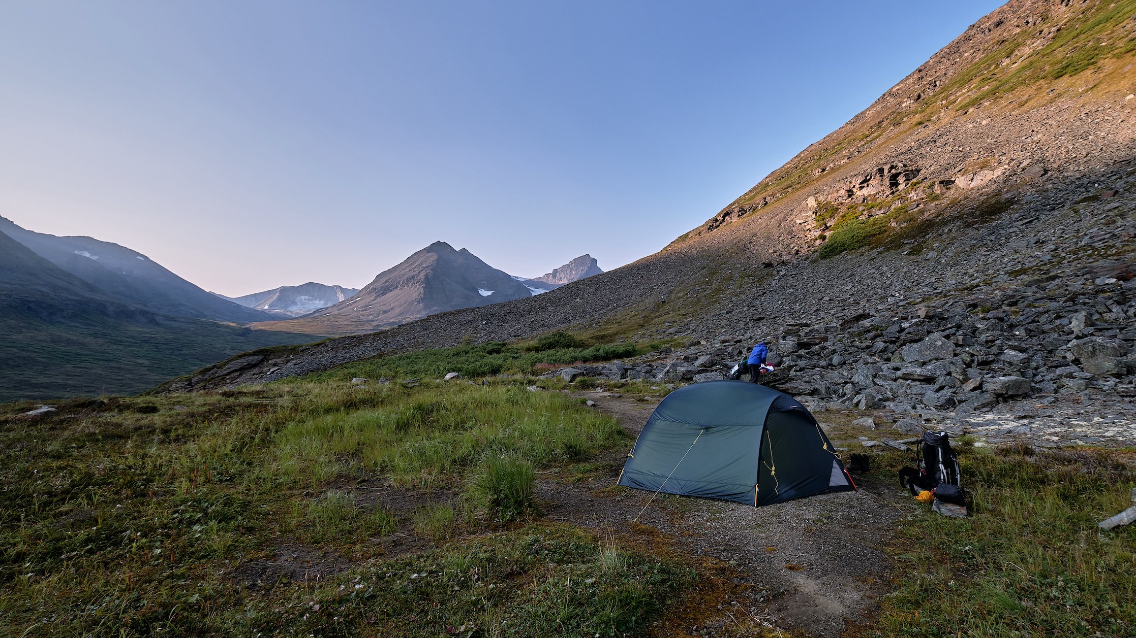
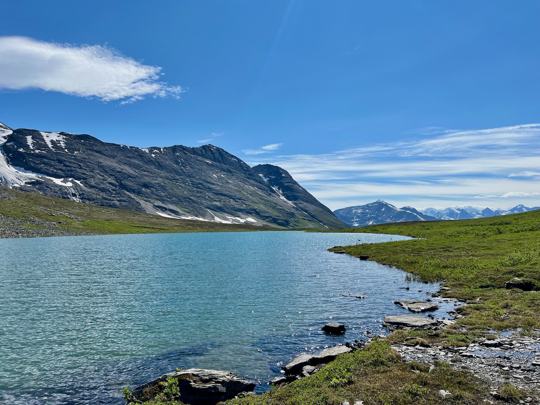
Photo by local photographer and adventurer Luke McKinney.
Horsfeld to Solo Creek
Considerations: River crossings, challenging route finding.
USGS maps: McCarthy D-1, D-2 and Nabesna A-1.
Length: 30 miles
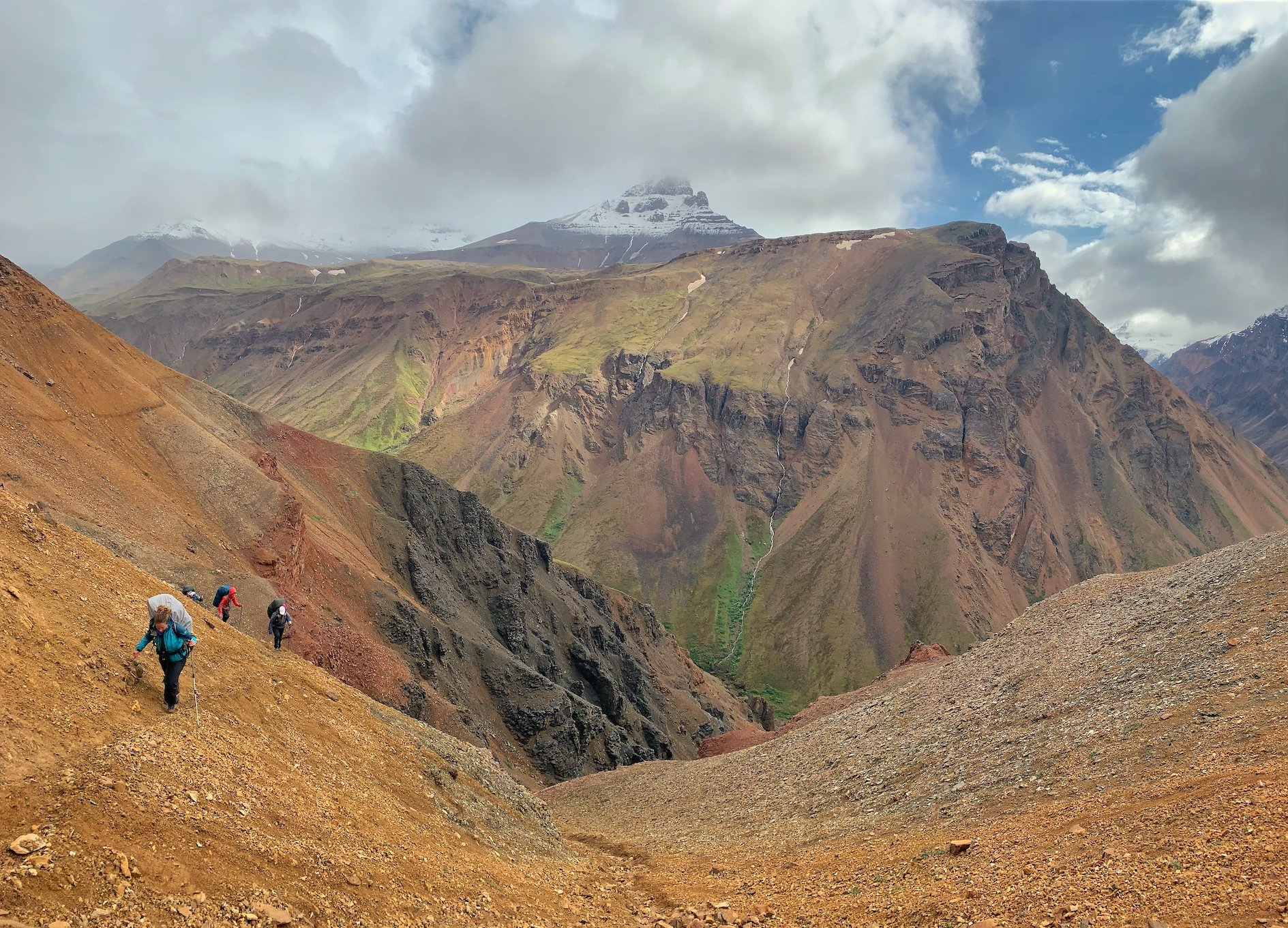
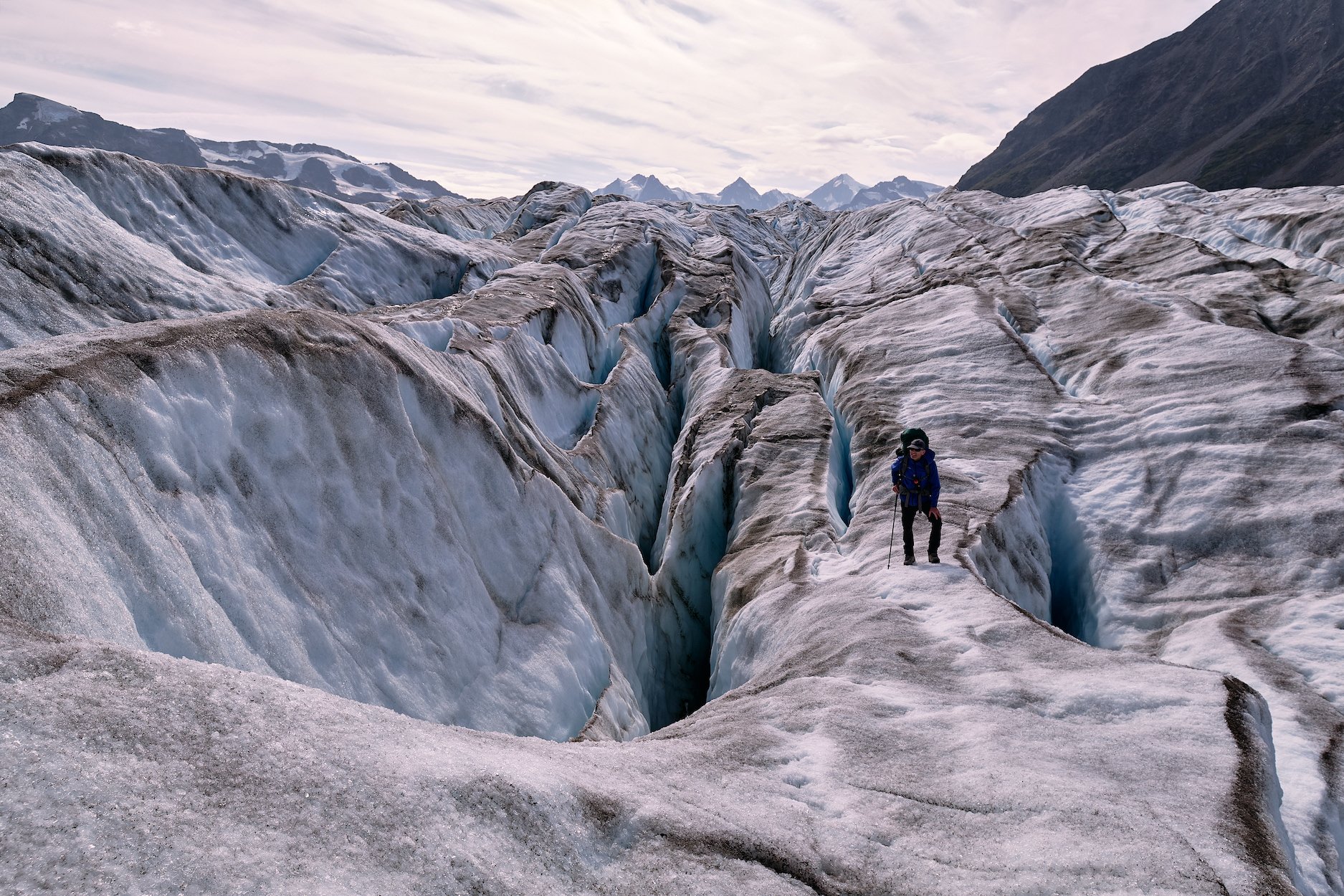
Skolai Pass to Wolverine Mountain
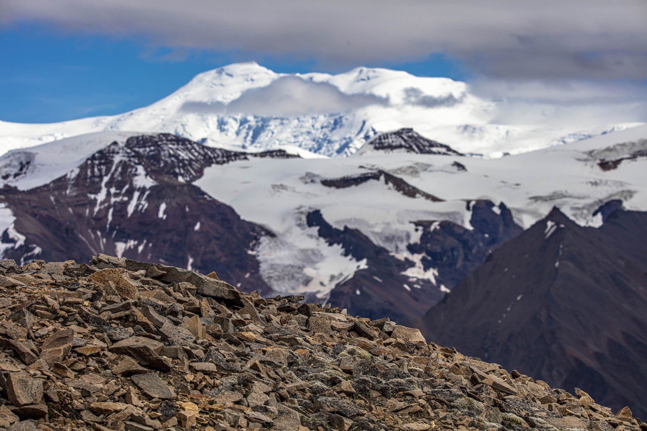
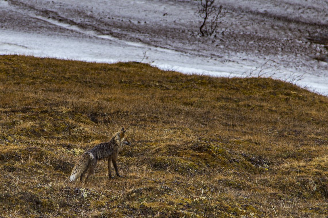
This variation of the Goat Trail allows you to remain at high elevations and avoid the larger river crossings on the Chitistone. After landing at Skolai, you’ll follow the same route over Chitistone pass and along the gorge. At the top of Chitistone Falls, you will turn up a small creek valley leading into high alpine meadows, surrounded by hanging glaciers on one end and the impressive views of Mt. Bona (16,421”) and Mt. Churchill (15,640’) on the other. Watch for caribou, Dall sheep, mountain goats, grizzlies, wolves, and wolverine.
Considerations: River crossings, steep scree slope traverses.
Length: 18 miles
USGS maps:
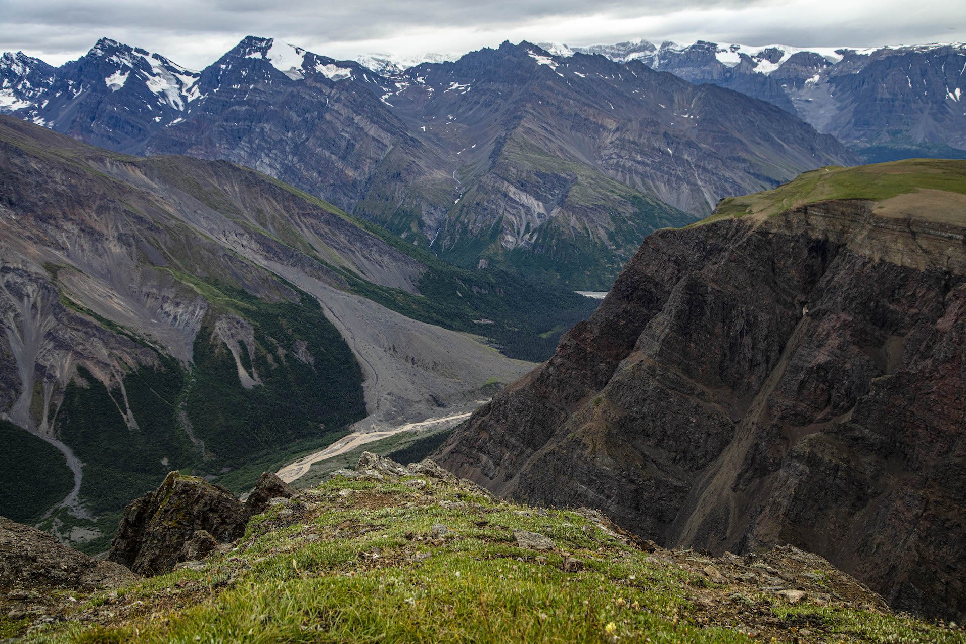
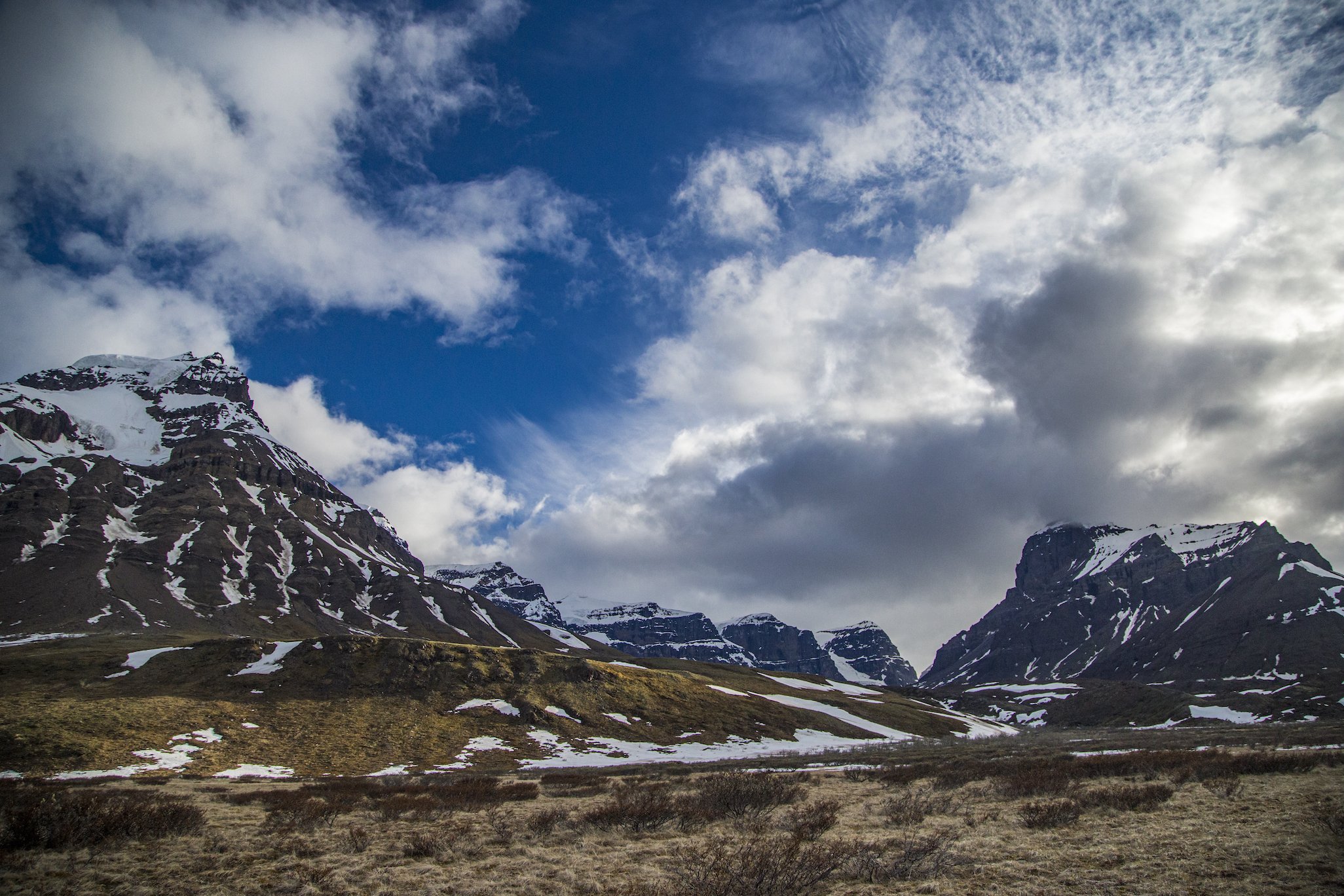
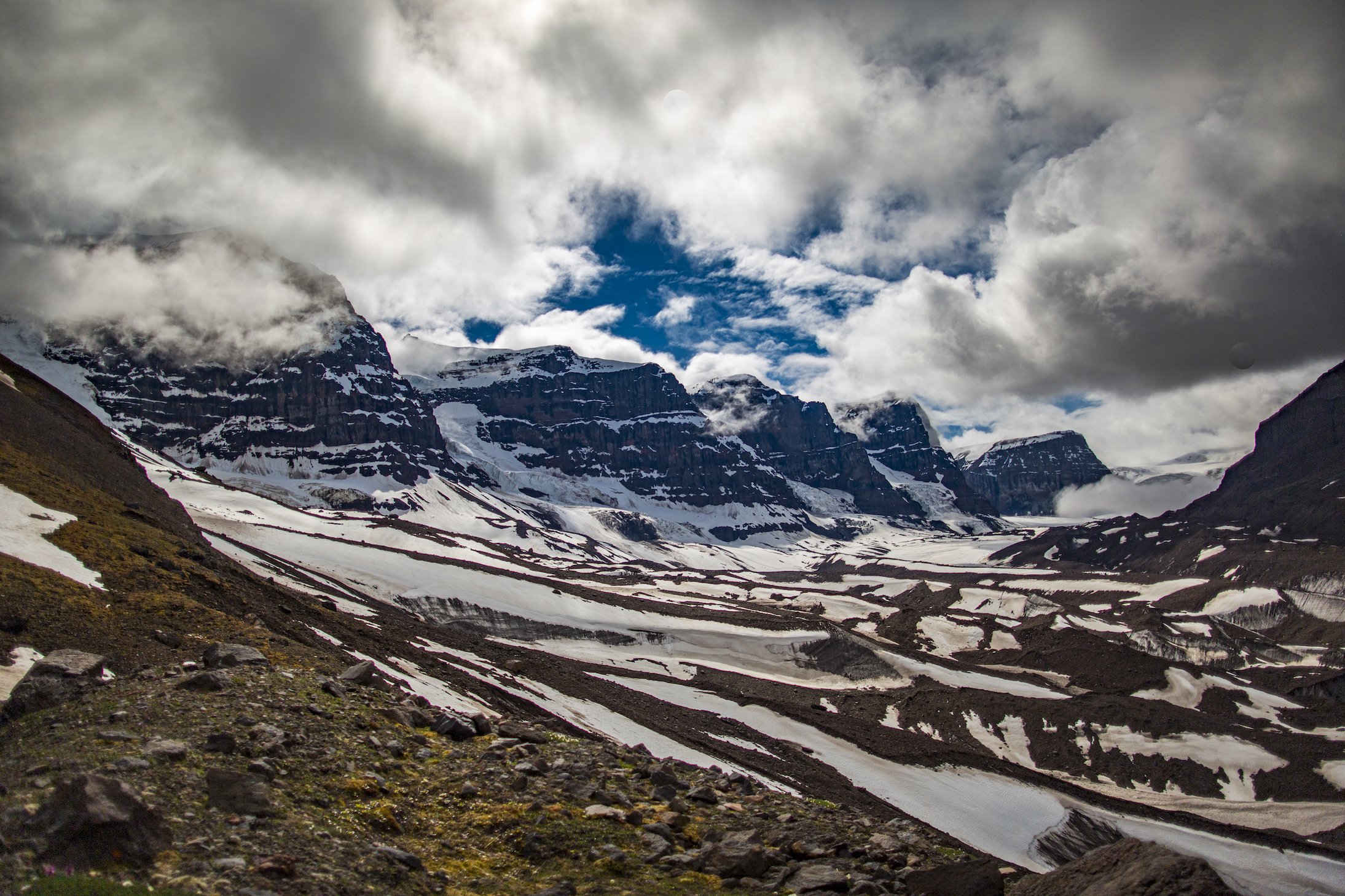
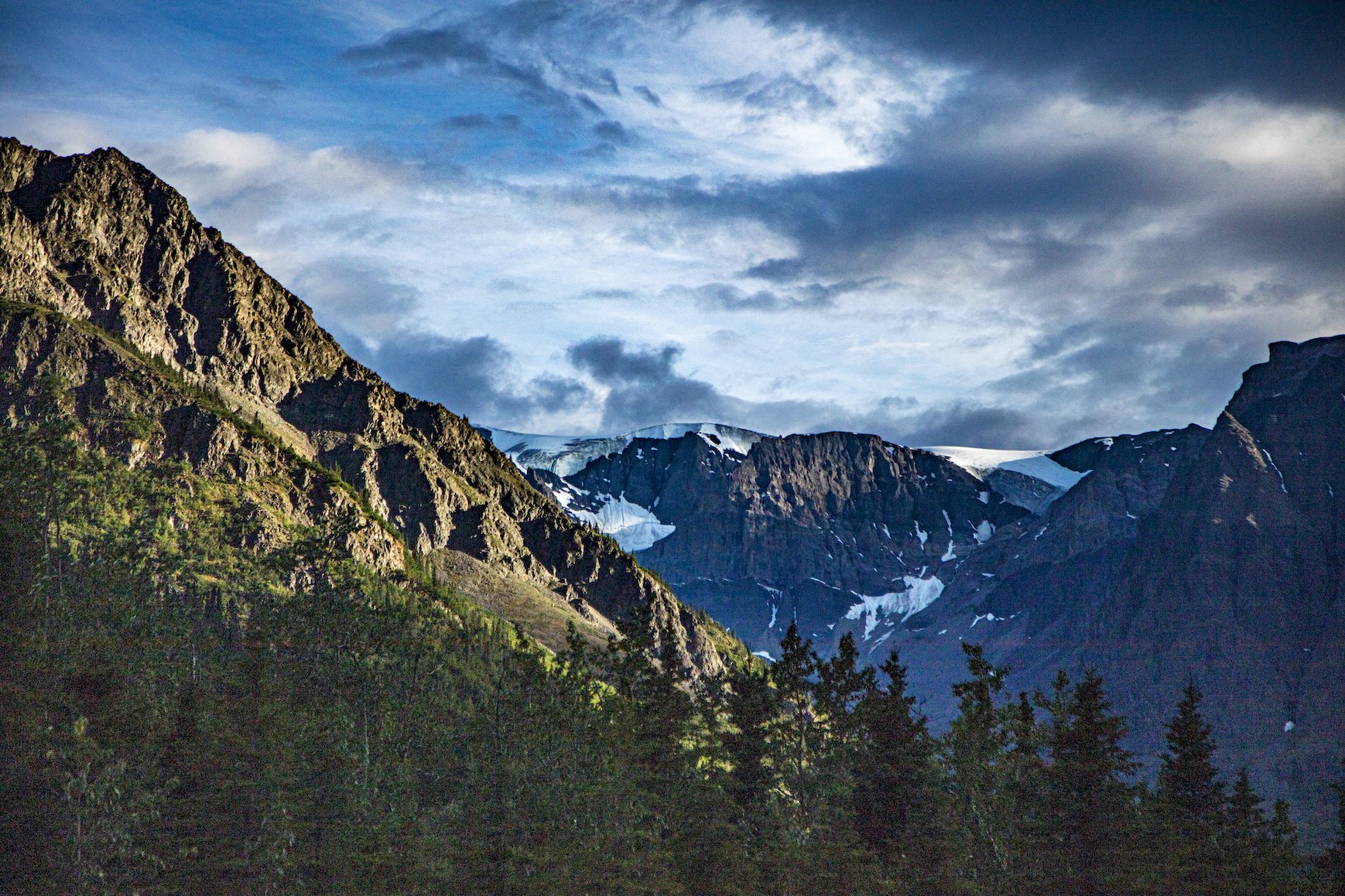
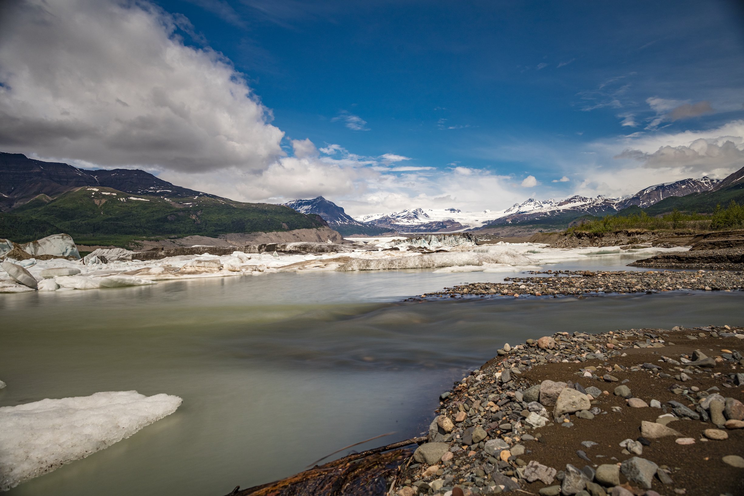
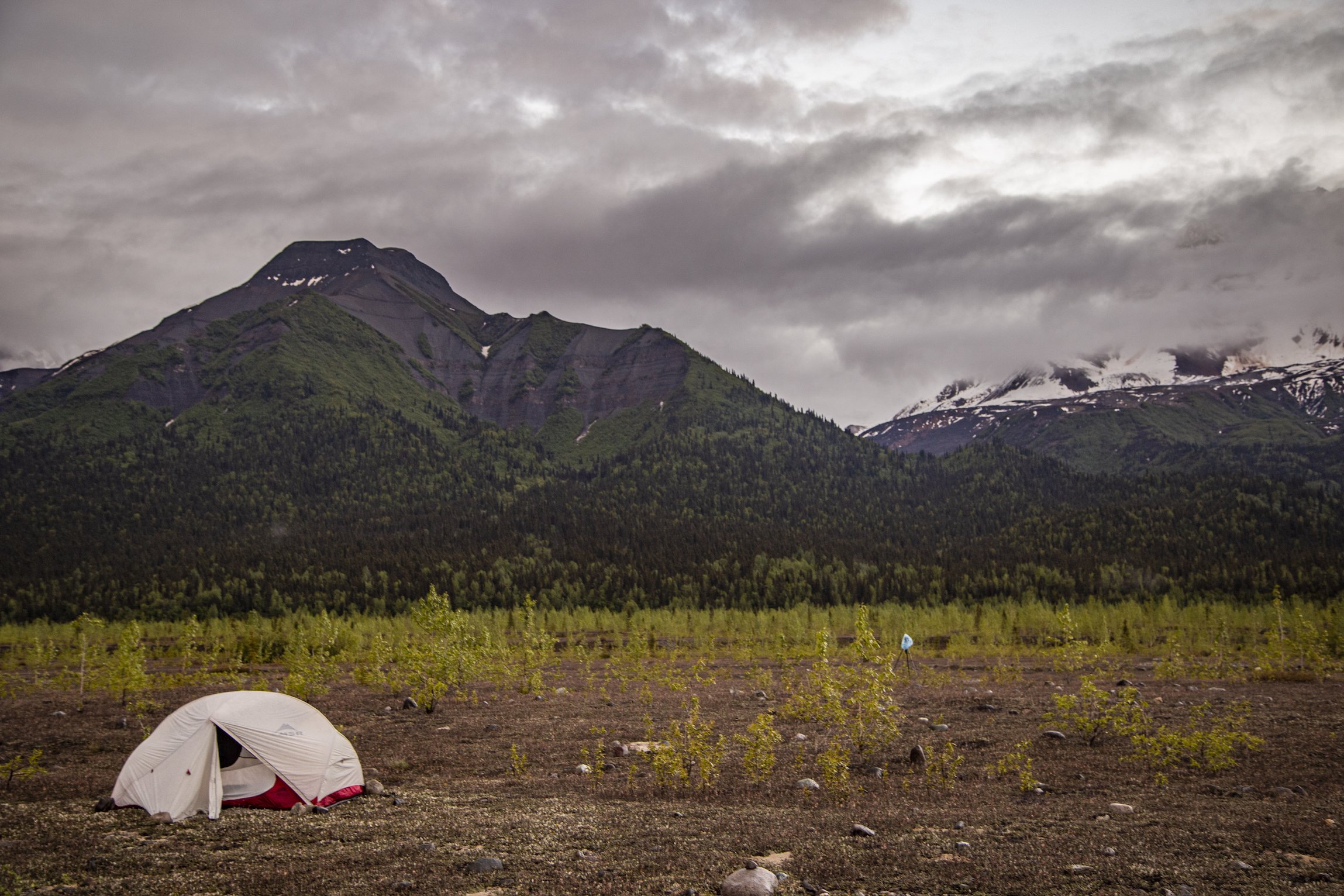
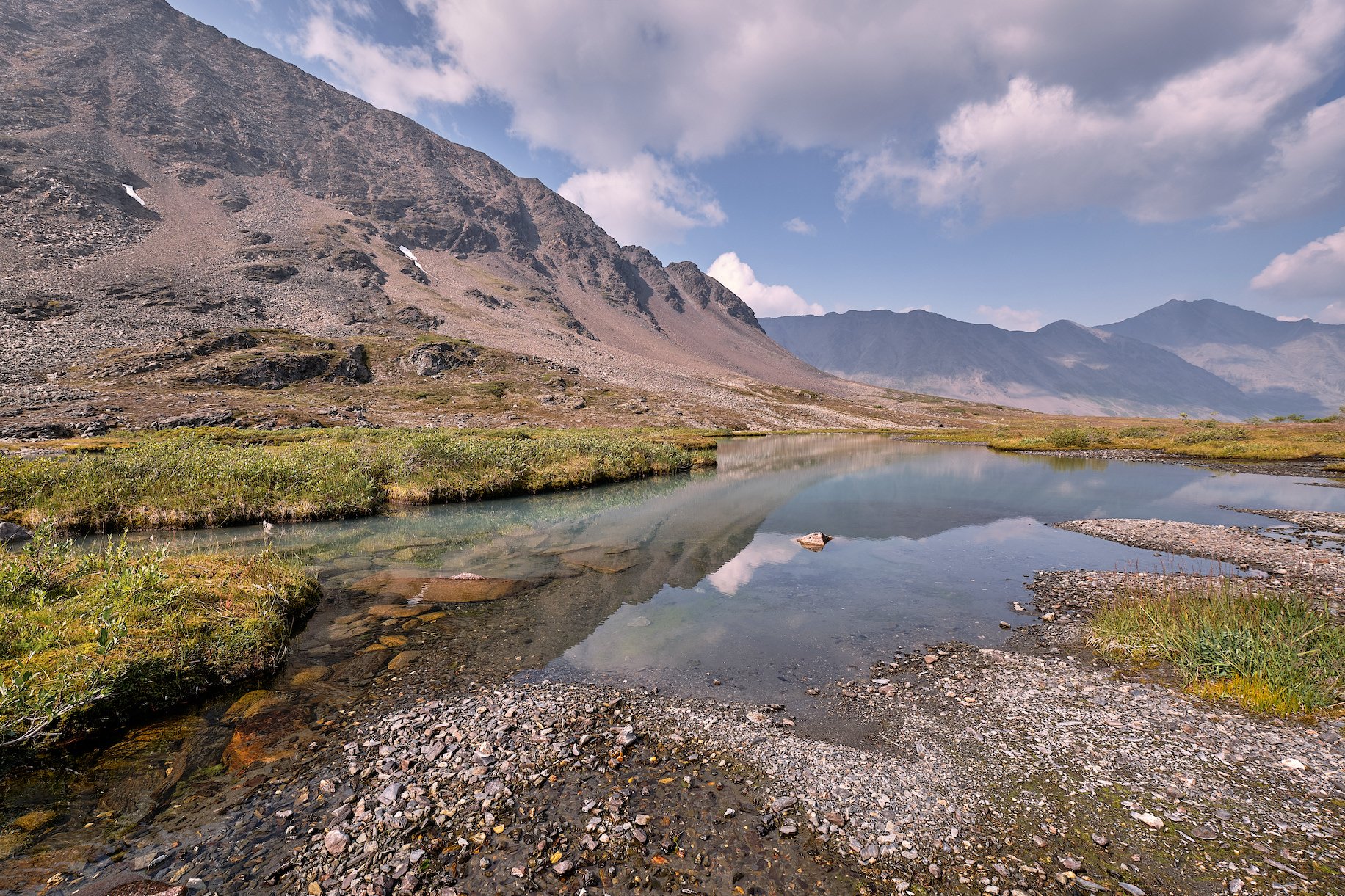
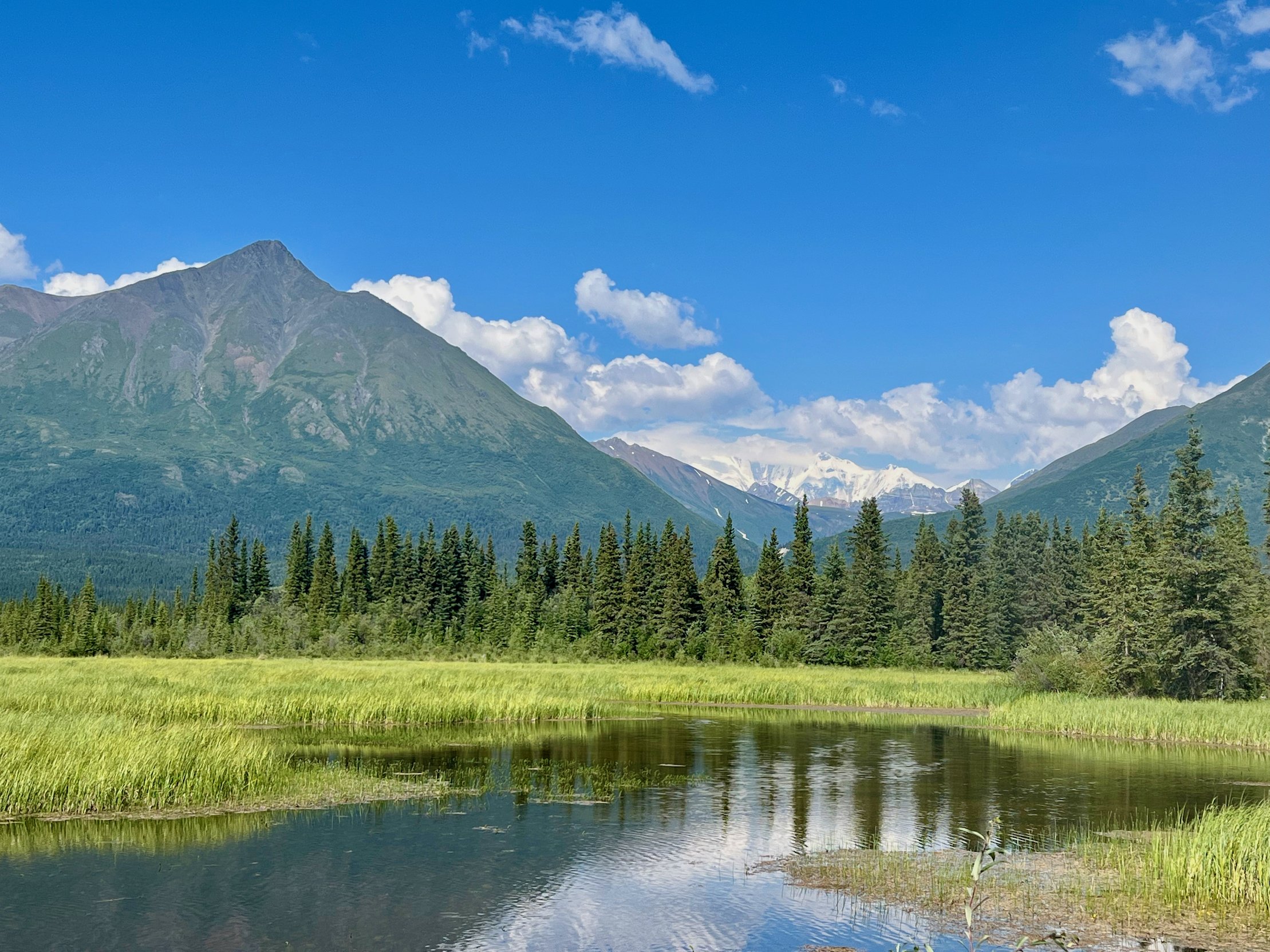
Photo by local photographer and adventurer Luke McKinney.
The Goat Trail
This classic Alaskan hike follows the geographic division between the Wrangell and St. Elias ranges and along an historic route leading from McCarthy to the Chisana gold fields. A scenic flight among high mountains and glacial rivers takes you to the Skolai landing strip (4500’). Spending a day or two in Skolai allows you to explore ‘Hole in the Wall’ Glacier or hike the alpine bench overlooking Russell Glacier which provides spectacular vistas of the University Range (16,421’). From Skolai, the route climbs over 6000’ Chitistone Pass, through Chitistone Gorge and and descends to follow the Chitistone River down to the landing strip at Glacier Creek. Steep cliffs interrupted by waterfalls border this canyon, which is home for black and grizzly bears, wolves, wolverine, red fox and mountain goats. Hikers may opt to travel in the reverse direction, beginning at Glacier Creek and ending at Skolai.
Considerations: River and stream crossings, steep traverses through exposed scree slopes.
Length: 25 miles
USGS maps: McCarthy C3, C4, B4

Photo by local photographer and adventurer Luke McKinney.
Wolverine to Doubtful
This is a great route if you are looking for a little adventure but don’t have the time available for a longer trip. The trip starts at the Wolverine airstrip, elevation 5000 ft. There are two ways around the big mesa, one shorter and the other more scenic. Once around the other side you drop down into Doubtful Creek. A steep walled canyon in Doubtful forces you to take an adventurous detour over a rock glacier before dropping back down to the creek and then all the way down to the headwaters of the Nizina River just below the glacier.
Considerations: Stream crossings.
Length: 11-13 miles
USGS maps: McCarthy C4

Photo by local photographer and adventurer Luke McKinney.
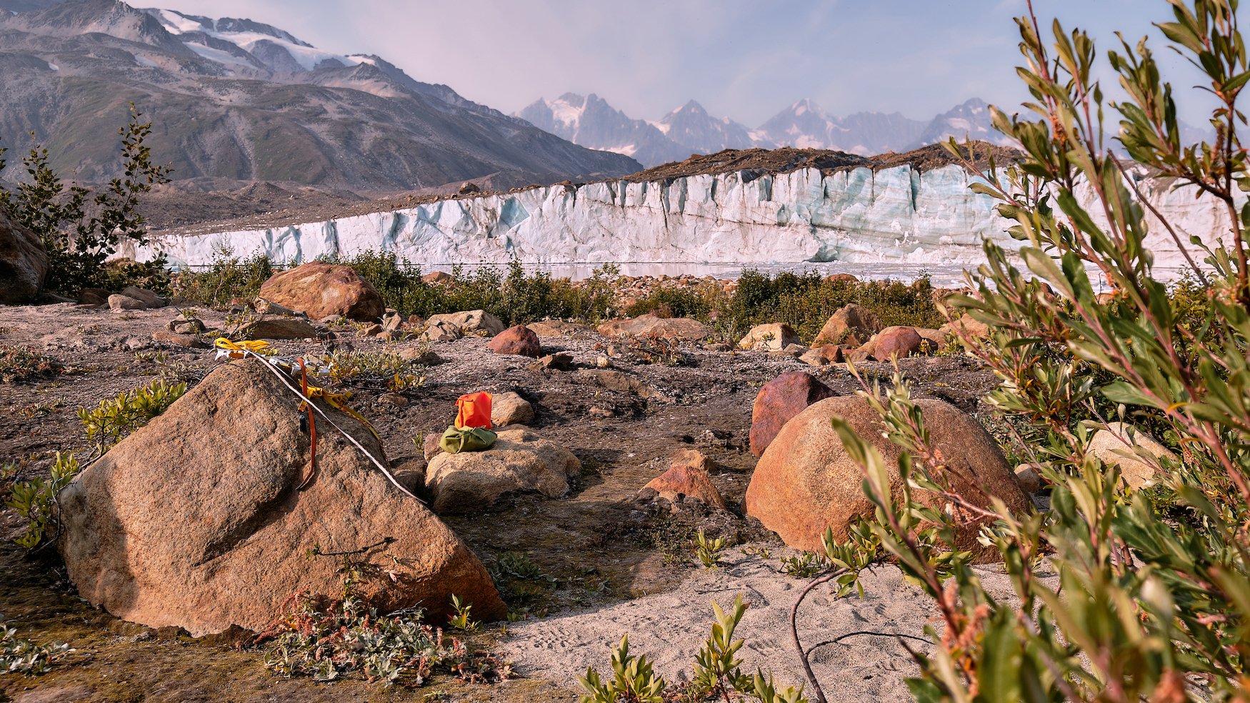
Seven Pass Route - Iceberg Lake to Bremner
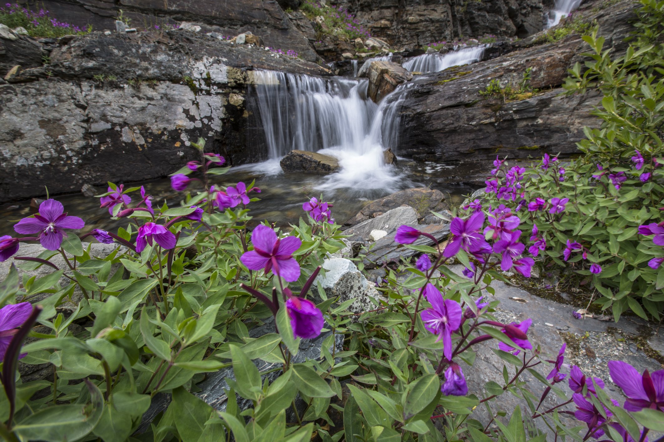
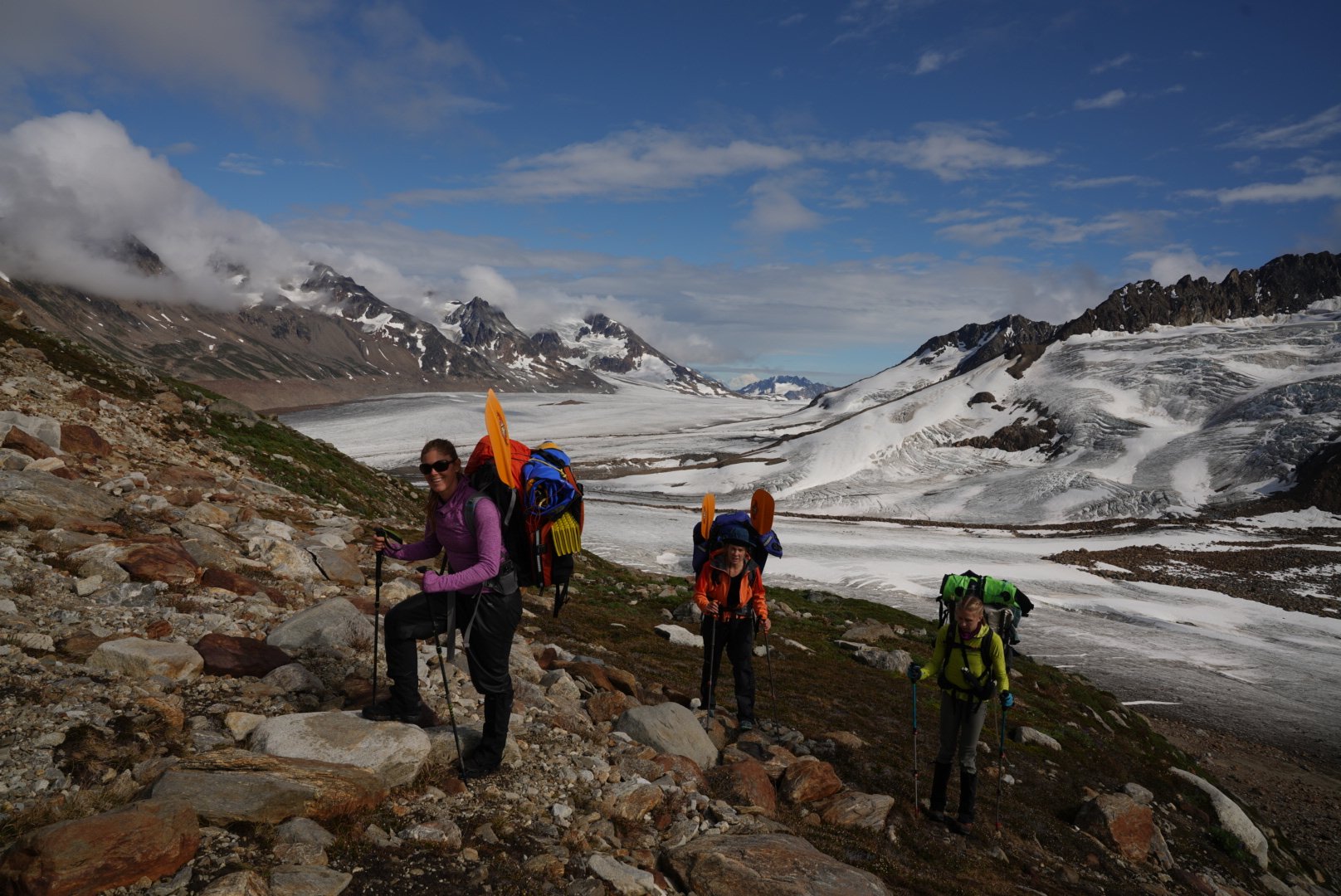
Virtually untouched by human presence, this is a remote hike through classic Wrangell terrain; massive glacier carved valleys, cascading waterfalls, and hidden alpine lakes, all await the adventurous hiker. Reminiscent of the Skolai Valley and the Goat Trail, The Seven Pass Route will challenge and amaze you with a constantly changing landscape. This route offers a great adventure for the seasoned backpacker looking for a challenging wilderness experience on a seldom traveled route. You will move through constantly changing and varied terrain from lush, verdant valleys, to blue glacial landscapes, to barren, rock-strewn mountain passes. Even experienced backcountry travelers will feel challenged. If you’re looking for a true wilderness adventure, this is a great choice.
Considerations: Stream crossings, multiple glacier crossings, steep ridge climbing.
Length: 18-35 miles
USGS maps: Bering Glacier D6, D7 and McCarthy A6, A7

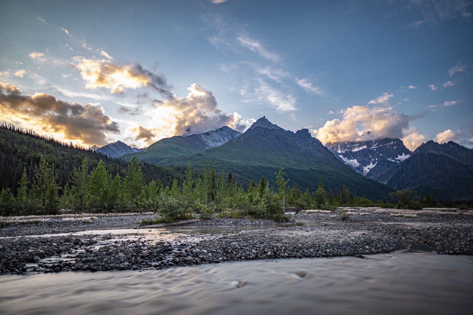
Photo by backpacker Urs Meyer.


Allie’s Valley to Bremner Mine
Beginning in the lush Allie’s Valley, you might be tempted to linger a day before pushing on to your destination. After going up and over the first pass, the trip joins up with the Seven Pass route, after all the glacier crossings. You will travel through inviting, green valleys and across rocky and barren high passes. A wide variety of terrain awaits the adventurous trekker on this trip which concludes in the historic, Bremner gold mining district. Allow a little time on the end of the trip to explore the ruins of the Yellowband mine site.
Considerations: Stream crossings, steep ridge climbs.
Length: 18-20 miles
USGS maps: Bering Glacier D6, D7 and McCarthy A7

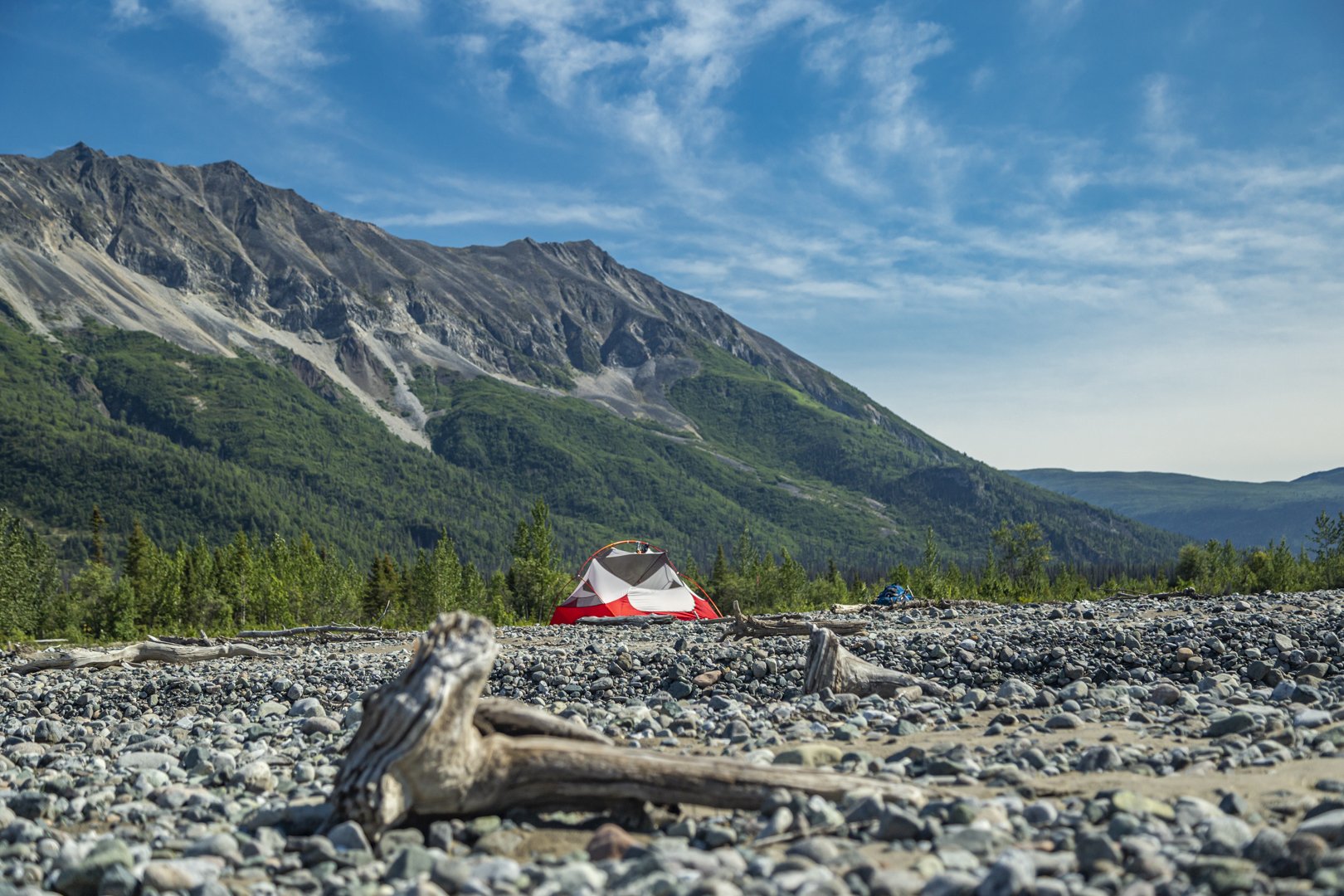
Photo by backcountry passenger and photographer, Jacob W. Frank.
The Tana Notch
This backpacking trip begins in a valley so lovely you won’t want to leave. Start at the far end and make your way easily down the broad open valley floor that is blanketed in wispy cotton grass. Your progress will be slowed somewhat by the frequent stops required to take in the surrounding views of peaks and hanging glaciers. Disappointment at leaving the valley behind will quickly give way to new delight as we make a gradual ascent to a turquoise green lake just below the first pass of the route. The lakeside perch gives commanding views of the valley behind. The route continues in a never ending variety, moving from high lonely passes then dropping down to verdant valleys only to rise up again to the next wind-swept pass. An easy glacier crossing adds to the excitement on this challenging backpacking adventure. Finally you will “shoot the notch”, climbing up two narrow passes in succession. After the final notch, drop down to a lovely lake perched up high with an awesome view of the mighty Tana River below. If you are looking for a rewarding Alaskan backpacking trip where few ever go then this is one to consider.
Considerations: Stream crossings, glacier crossings, steep scree slopes, thick brush, challenging route finding. This is a trip for experienced Alaska wilderness travelers or as a guided adventure.
Length: 20 miles
USGS maps: Bering Glacier D6, D7 and McCarthy A7, A8, B8
Pyramid Peak Traverse
The flight to the airstrip travels through the University Range and some of the most stunning terrain that the park has to offer. The route travels through country that is as varied as it is magnificent. The Pyramid Peak Traverse is a rewarding and challenging trip. After a traverse on the shoulders of Pyramid Peak, the route crosses a high ridge of Andrus Peak. The views from the top are stunning and varied. From the lofty ridge you will drop down into a valley that has a rich gold mining history. Mining debris and old shafts are still in evidence along the way. Our route ends at May Creek where you can spend your last night in a cozy public-use cabin (first come, first served) where you can warm your weary feet by the wood stove.
Considerations: Snow field at the edge of a glacier, stream crossings, steep scree slope traverses. This is a trip for experienced Alaska wilderness travelers or as a guided adventure.
Length: 20-22 miles
USGS maps: McCarthy B4, B5
Bremner to Tebay Lakes
This is an amazing adventure through virtually untouched Alaskan wilderness. From glaciers to glacial rivers, and from tundra to thick brush, the route described below encompasses all aspects of a classic trip in the Wrangell-St. Elias National Park. Mountaineering skills are not necessary for this trip, but because of the challenging terrain and remote location, it is recommended for strong backpackers with excellent route finding skills. This route was only done for the first time in the summer of 2003 so it’s definitely off the beaten track. This is a great choice for some one looking for an adventurous route.
Considerations: Ice/snow field travel may be involved, stream crossings, changing weather, steep and rough terrain, challenging route finding. This is a trip for experienced Alaska wilderness travelers or as a guided adventure.
Length: 40-45 miles
USGS maps: Valdez A1, A2 and McCarthy A6, A7
Bremner to Tana River
Virtually untouched by human presence, this is a remote hike through classic Wrangell terrain; massive glacier carved valleys, cascading waterfalls, and hidden alpine lakes, all await the adventurous hiker. Reminiscent of the Skolai Valley and the Goat Trail, this route will challenge and amaze you with a constantly changing landscape. This route offers a great adventure for the seasoned backpacker looking for a challenging wilderness experience on a seldom traveled route. You will move through constantly changing and varied terrain from lush, verdant valleys, to blue glacial landscapes, to barren, rock-strewn mountain passes. Even experienced backcountry travelers will feel challenged. If you’re looking for a true wilderness adventure, this is a great choice. Three different options allow for varied backcountry skill levels and trip lengths, but all will leave you with a truly unique wilderness experience.
Considerations: Multiple glacier crossings, stream crossings, steep ridge climbing sections. This is a trip for experienced Alaska wilderness travelers or as a guided adventure.
Length: 18-35 miles
USGS maps: Bering Glacier D6, D7 and McCarthy A6, A7

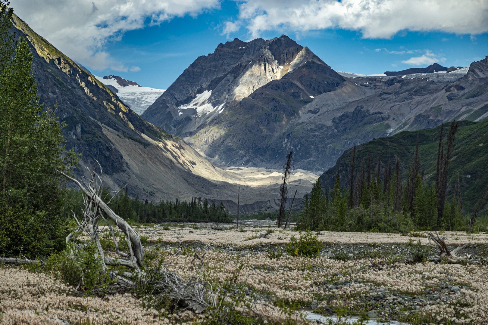
Photos by packrafter Erik Bernhoft.
Hanagita Traverse
A challenging and rewarding trip, if you don’t mind a little bushwhacking. You will start on a high plateau and cross two wide river valleys on your way to the Hanagita valley. Camp at the base of Hanagita near thunderous waterfalls that beg to be explored up close. When the clouds part and reveal Hanagita’s summit you’ll stand in open-mouthed astonishment. The country in the vicinity of Shovel peak provides a dramatic conclusion to a great trip before dropping into Bremner on Golcanda Creek. Allow a day to explore the Bremner area and the relics of gold mining activity.
Considerations: River crossings, steep scree traverses, glacier crossings, thick brush, challenging route finding. This is a trip for experienced Alaska wilderness travelers or as a guided adventure.
Length: 36-40 miles
USGS maps: McCarthy A7, A8, B8
Southern Park Traverse
If you have already completed several rugged, Alaskan backcountry trips and are looking for a more extreme challenge, then this is the trip for you. This route begins at Iceberg and ends at the lovely Tebay. Reference the Seven Pass Route description followed by Bremner to Tebay. This is a long, difficult and challenging route but for the experienced and prepared adventurer, truly the trip of a lifetime. You will pass through some of the best country that the park has to offer. This route combines the following routes. Few have done this trip. The route requires significant planning and preparation. Bremner is a good midway resupply and layover point.
Considerations: Glacier travel, stream crossings, challenging route finding, changing weather, steep and rough terrain. This is a trip for experienced Alaska wilderness travelers or as a guided adventure.
Length: 90-107 miles
USGS maps: Bering Glacier D4, D7, C4, C7 and McCarthy A6, A8, B7, B8
Tebay Lakes to Tana River
This is a combination of Tebay Lakes to Bremner and Bremner to Tana River. To our knowledge this route has never been done as a through trip, although Bremner to Tebay and Bremner to Tana have been done at different times. This route is recommended only for highly skilled and experienced backpackers seeking a very unique adventure. Starting from Tebay Lake this trip traverses approximately 85 miles of rugged Alaska wilderness to the Tana River. The route will involve glacier and stream crossings. At times the route may require crossing steep and exposed terrain. The beginning and end of this trip involves bush whacking. While this trip offers a grand adventure it should only be undertaken by the most experienced and best prepared wilderness travelers.
Considerations: Glacier crossings, stream crossings, steep scree slopes, thick brush, challenging route finding. This is a trip for experienced Alaska wilderness travelers or as a guided adventure.
Length: 60-90 miles
USGS maps: Bering Glacier D6 and McCarthy A7, A8